


A HIGH WIND WARNING continues for the East Glacier area, the Rocky Mountain Front, and parts of Judith Basin County.
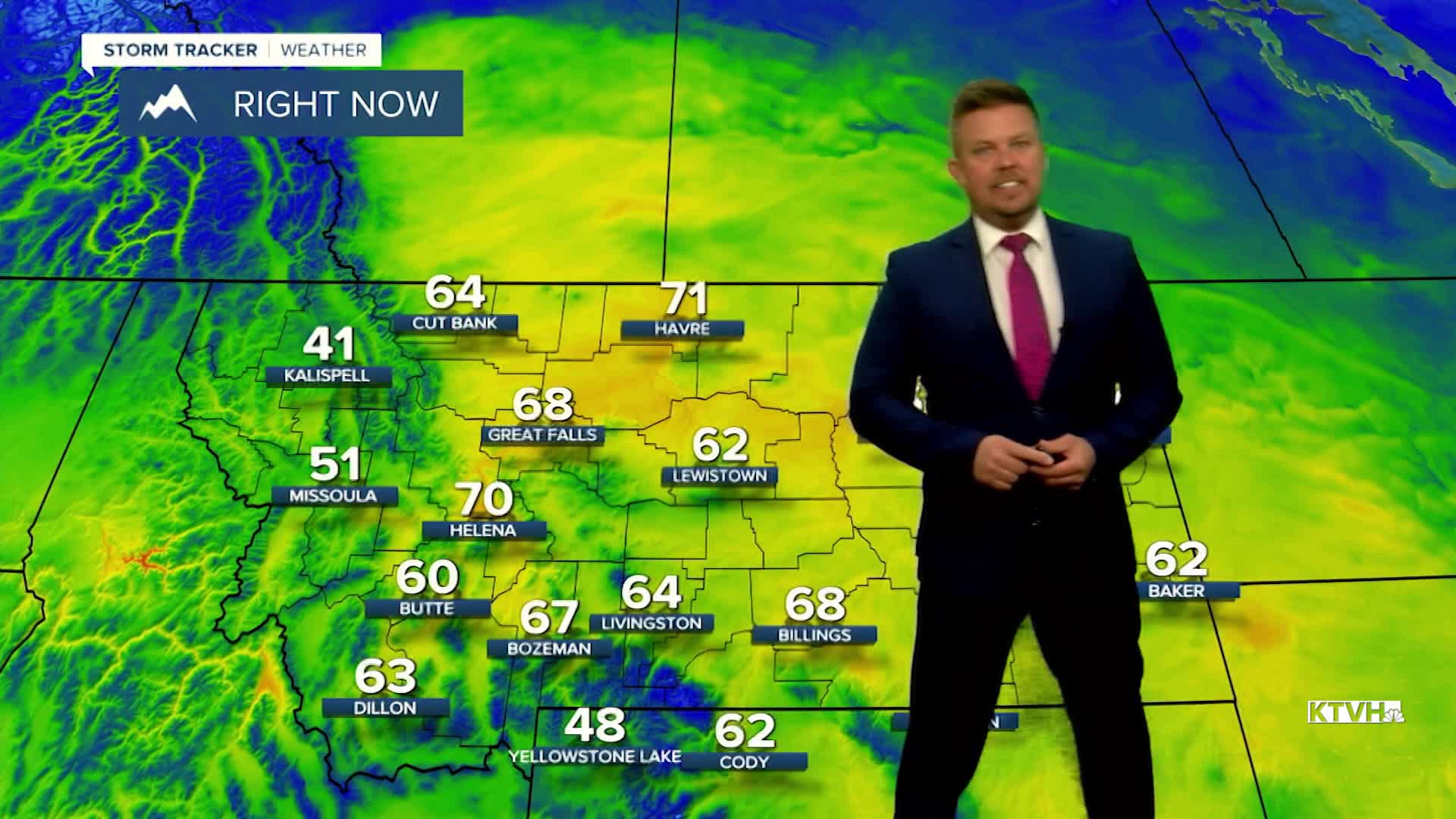
What a beautiful day! A few towns and cities in Montana tied or set record highs, but there was also that wind. Some gusts exceeded 80mph around Browning and East Glacier. The wind will continue to howl through tonight and across most of the state on Friday. Another cold front with limited precipitation and a strong push of wind will move through the. There will be some snow showers in the mountains, a few rain showers in the lower elevations, strong west wind, and highs in the 50s and 60s. A little rain/snow mix could develop up on the Hi-Line late Friday evening into Saturday morning. Any accumulation will be light and should not stick to the roads. This weekend will be fairly quiet. Saturday will be partly cloudy with a few isolated rain and snow showers over the mountains. It will be breezy and mild with highs in the 50s and 60s. Sunday will be partly to mostly cloudy with a few showers over southern Montana late in the day. Highs will top out in the 40s and 50s. Unsettled weather will move through Montana early next week. Some showers and light mountain snow will move throughout the state. Highs will be in the 40s to around 50 on Monday. Tuesday will be slightly cooler with lowering snow levels. There could be a light accumulation in the mountains. Snow levels may drop to the plains and the valleys for later Tuesday into Wednesday. Gradually the temperatures will get cooler through next week. While the storm does not look to be major, it will mark a change and a return to more typical November weather.
Have a great day,
Curtis Grevenitz
Chief Meteorologist
