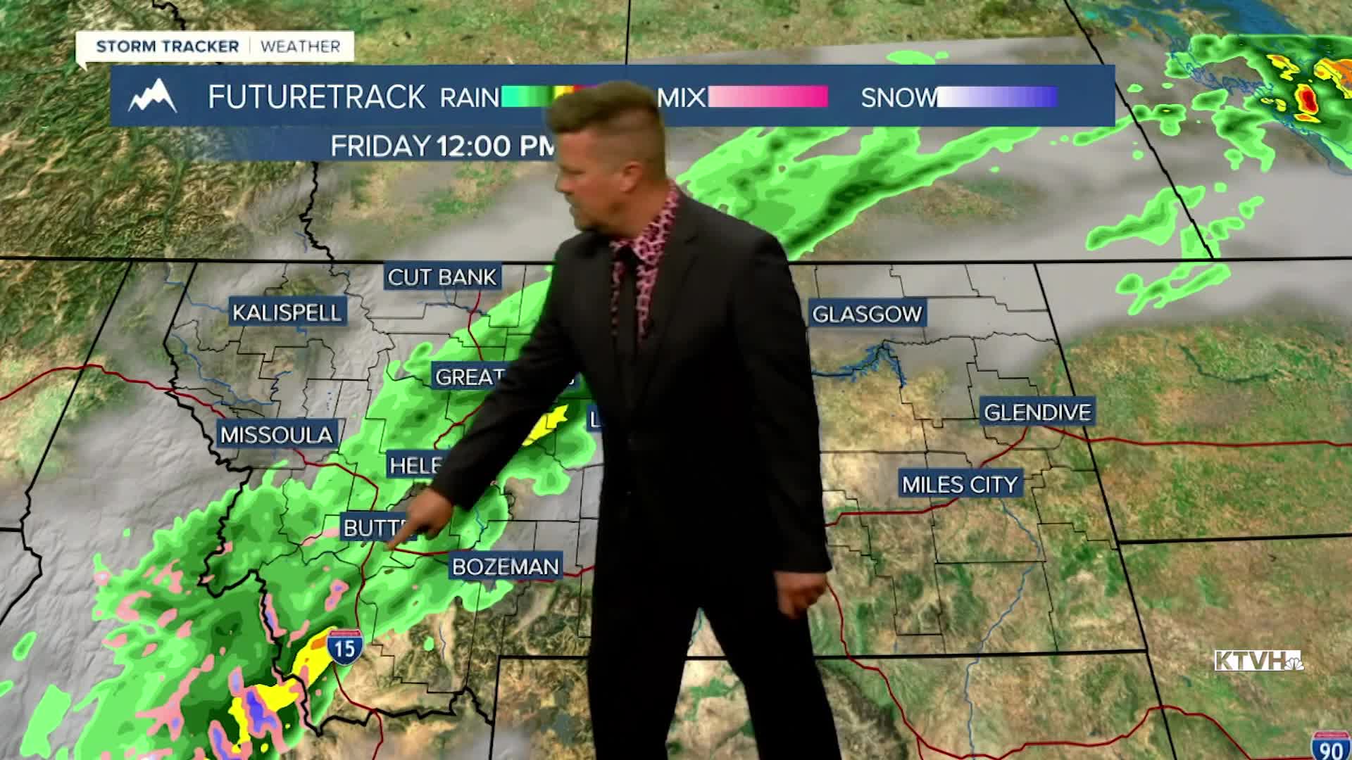


Happy October! While there was some decent sunshine for the first day of the month, the next few days will turn wet and cool with some mountain snow. Thursday increasing clouds and showers with temps cooling off a bit, highs in the 60s and 70s, close to normal. Scattered showers and isolated thunderstorms will continue through Thursday evening into Friday morning. Central and southern Montana will be cloudy with some showers and higher mountain snow on Friday. Temperatures will range from the 50s south and central, to the 60s north where there will be more sunshine. This weekend is the first weekend of October. A cold front will likely come down from Canada late Saturday into Sunday. Snow will fly in the mountains with the possibility of snow down to some of the valleys and plains. A light accumulation is possible in the higher terrain. The lower elevations will likely not have any accumulation but many areas will see their first flakes of the season. Sunday will start out cloudy with a little rain and snow that will diminish later in the day. It will be a chilly day with highs in the 40s to around 50 in the lower elevations, and 30s in the mountains. The storm will clear later Sunday with drier and warmer conditions returning Monday and Tuesday.
Have a great day,
Curtis Grevenitz
Chief Meteorologist
