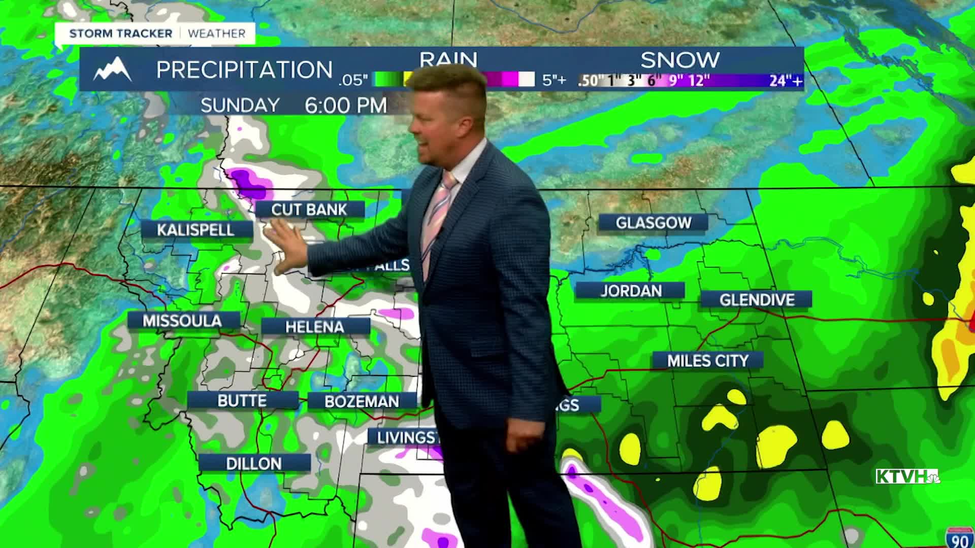


A WINTER STORM WATCH has been issued for the East and West Glacier area, and the mountains of southern Montana through Sunday.
A significant storm will bring rain, thunderstorms and lowering snow levels to most of Montana through the first weekend of October. A steady area of rain will develop Thursday night into Friday morning across southwest Montana up to the north-central part of the state. Friday will be a mostly cloudy, rainy day with some thunderstorms in the afternoon and evening. Highs will be cooler in the 50s and 60s. This weekend is the first weekend of October. A cold front will likely come down from Canada late Saturday into Sunday. Snow will fly in the mountains with the possibility of snow down to some of the valleys and plains. A light accumulation is possible in the higher terrain. The lower elevations will likely not have any accumulation but many areas will see their first flakes of the season. Sunday will start out cloudy with a little rain and snow that will diminish later in the day. It will be a chilly day with highs in the 40s to around 50 in the lower elevations, and 30s in the mountains. The storm will clear later Sunday with drier and warmer conditions returning Monday and Tuesday.
Have a great day,
Curtis Grevenitz
Chief Meteorologist
