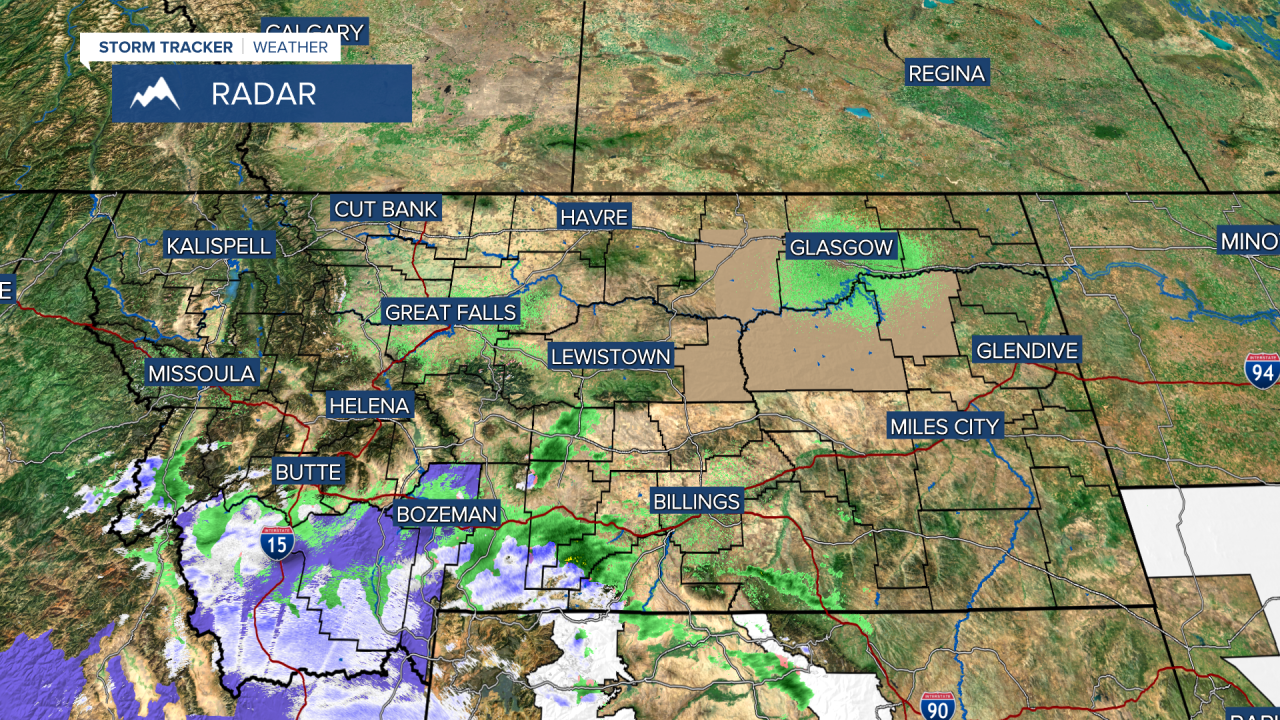
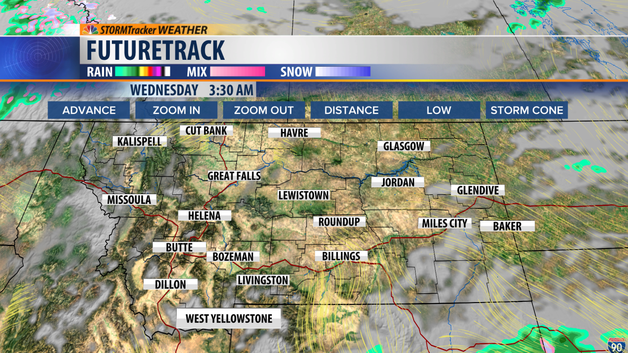
This morning a closed low worked its' way into eastern Idaho. The precipitation circulating around this low initially dropped snow on areas in southwestern Montana, but is now transitioned to rain as the bands move further northward towards central Montana. Cloud cover will stay consistent across Helena and Great Falls throughout Tuesday. The bands of precipitation have already started weakening and petering off. Even though clouds will be sticking around, temperatures around Montana will be fairly comfortable Tuesday. Tuesday evening a high pressure ridge begins nudging into Montana. This will allow for warming and mostly sunny skies across Montana Wednesday. Thursday morning and early afternoon will be just as sunny and even warmer; with some areas likely to surpass 80 degrees around early afternoon. The bad news is that a stronger trough will dig into that ridge and push it out of her by Thursday evening. Also on Thursday evening, a cold front will push into Montana from the west, bringing widespread precipitation while also helping to drop temperatures. From Thursday night through at the least the following five days; moisture will be abundant in the forecast and across Montana. Next week to accompany multiple rounds of moisture, temperatures will be several degrees below average. Wednesday and the first half of Thursday will most-likely be the best two days of 2022 so far for being outside. Whether that's working in the yard, running, or just relaxing on the patio; take advantage of the outdoors over the next two days while it's sunny, warm, and we don't have any smoke lingering. As always: A cloudy day is no match for a sunny disposition.
Be nice to each other.
- Trey Tonnessen -


