


A HIGH WIND WATCH has been issued for parts of the Hi-Line from Wednesday evening through Thursday.
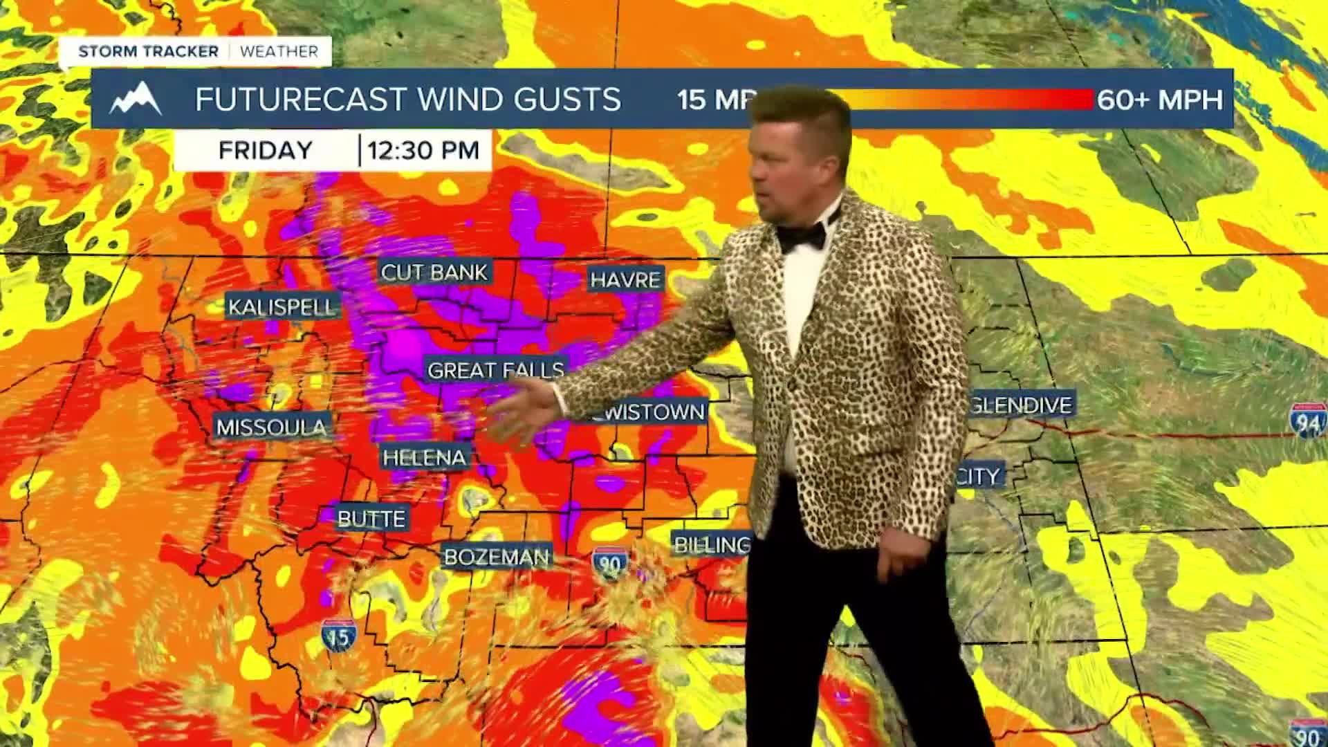
A new storm coming in from the Pacific will bring some cooler air, snow showers, rain showers, but more wind than anything else. After a couple of gray days with little to no breeze, that wind is going to erupt across the state on Thursday and Friday. There will be some scattered showers too but the wind will dominate. Thursday the wind will be strong with gusts topping 40mph. Some places on the Hi-Line and up on the Continental Divide could have gusts in excess of 60mph. A few snow showers will dot the mountains. Highs will be in the 40s and 50s. Another front will come across the state on Friday with showers and a burst of mountain snow. A brief period of heavy rain and snow with the front is possible in the morning. The rest of the day will have partly cloudy skies and snow showers in the mountains. Highs will top out in the 40s and 50s. Wind gusts will increase through the afternoon and evening. Slightly colder air will move into the state on Saturday with highs in the 40s to near 50. It will be breezy and cool. Sunday will be partly cloudy with highs in the 40s and 50s. Temperatures will warm up a bit through Veterans Day next week. The second half of November should be consistently colder.
Have a great day,
Curtis Grevenitz
Chief Meteorologist
