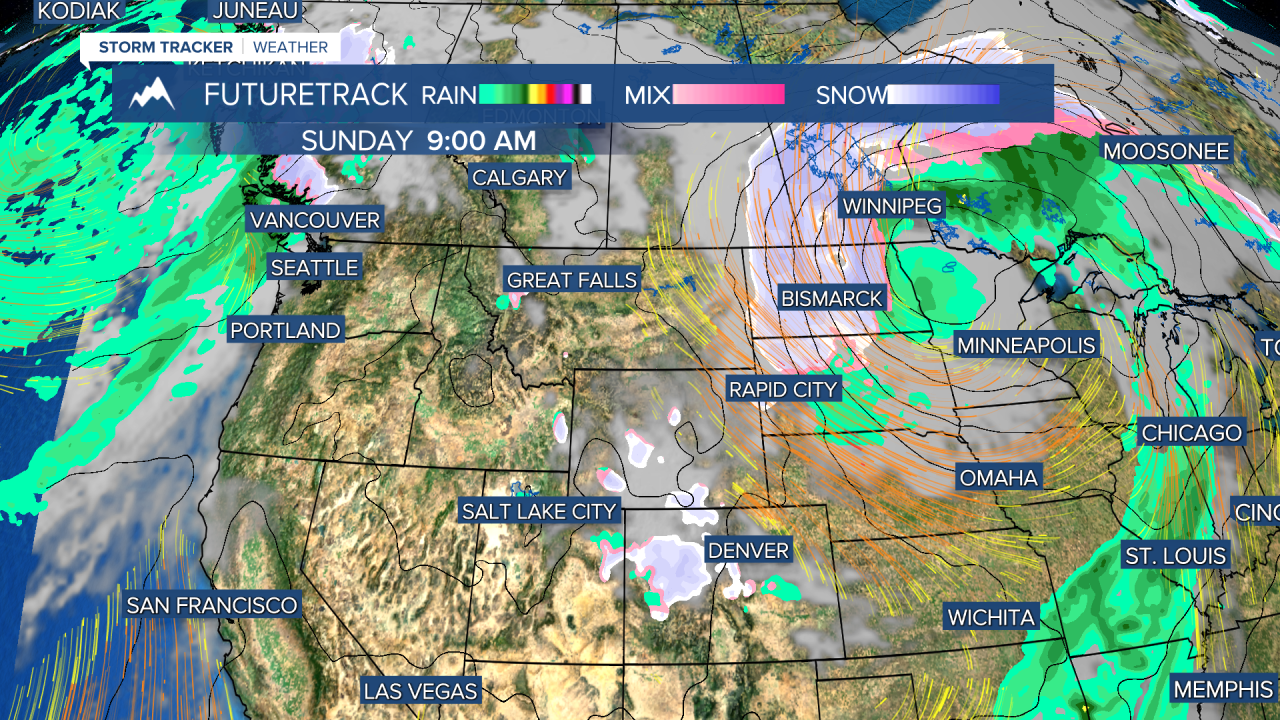
As we progressed through Friday morning, an initial decently sized band of snow moved through the southwestern corner of Montana, continuing in a northeast direction. There is also precipitation falling on the eastern side of the state, but as of 8:00 AM, that is all mostly rain. Several watches and warnings are currently in affect, including the return of a blizzard warning for all of eastern Montana. Due to the frequency of what people in our community have been calling "Purple" Advisories (winter weather advisories), I decided to make "Purple Reign" the theme for today's weather forecast. Throughout the weekend snow squalls, whiteout conditions, and high winds with blowing snow, will all but restrict travel around and across eastern Montana. Sunday will be mostly dry with a warmer flow from the southeast. By midday Monday another shortwave Pacific cold front will move into the state and help the atmosphere shift more towards a shower promoting mode. Rain and rain/snow mix will continue intermittently throughout the rest of the week; but the great thing to note is that by the end of next week temperatures will feel much more spring like. As always: A cloudy day is no match for a sunny disposition!
Be nice to each other.
- Trey Tonnessen -
Purple Reign
Blizzard Warning returns, "purple" advisories, snow and rainfall

Trey Tonnessen Weather (4/22/22) - Some in the community have recently labeled the April winter weather the "purple reign" stemming from the purple shade of some winter weather warnings. Trey shows us how much longer the snow and cold will reign over Montana, and just when a real spring pattern will permanently settle in.


Posted
Copyright 2022 Scripps Media, Inc. All rights reserved. This material may not be published, broadcast, rewritten, or redistributed.

