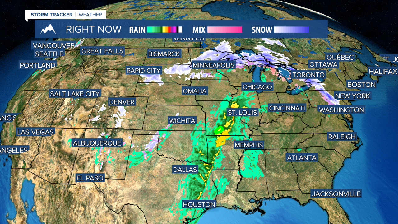
Tuesday was quite a shift from the above average temperatures we had over the week prior. Many areas across the state saw snowfall, though mostly all significant and measurable snowfall was in the higher elevations and mountains. Waking up on your Wednesday will be a bit chilly with temperatures in the 20s and a slight breeze. Statewide temperatures gradually warm as Wednesday progresses. By the afternoon hours, the majority of Montana will be in the upper 50s and low 60s. Thursday, a cold front will slide over the Rocky Mountain Front in the early morning hours and then move across Montana towards the southeast. This front is relatively weak so temperatures will only drop around 10-15 degrees. The possibility exists for snow/rain mixing and some convective thunderstorms built due to atmospheric instability. Friday warming returns and cotinues into Saturday. A few sparsely populated rain bands may pop up on Saturday, but most of the day will be sunny, warm, and breezy. Sunday should remain dry and mildly warm. After Sunday we begin to see more cool air and showery weather moving into Montana. As always: A cloudy day is no match for a sunny disposition.
Be nice to each other.
- Trey Tonnessen -


