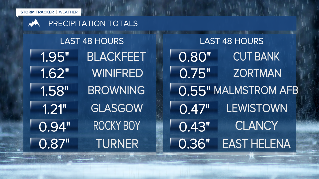
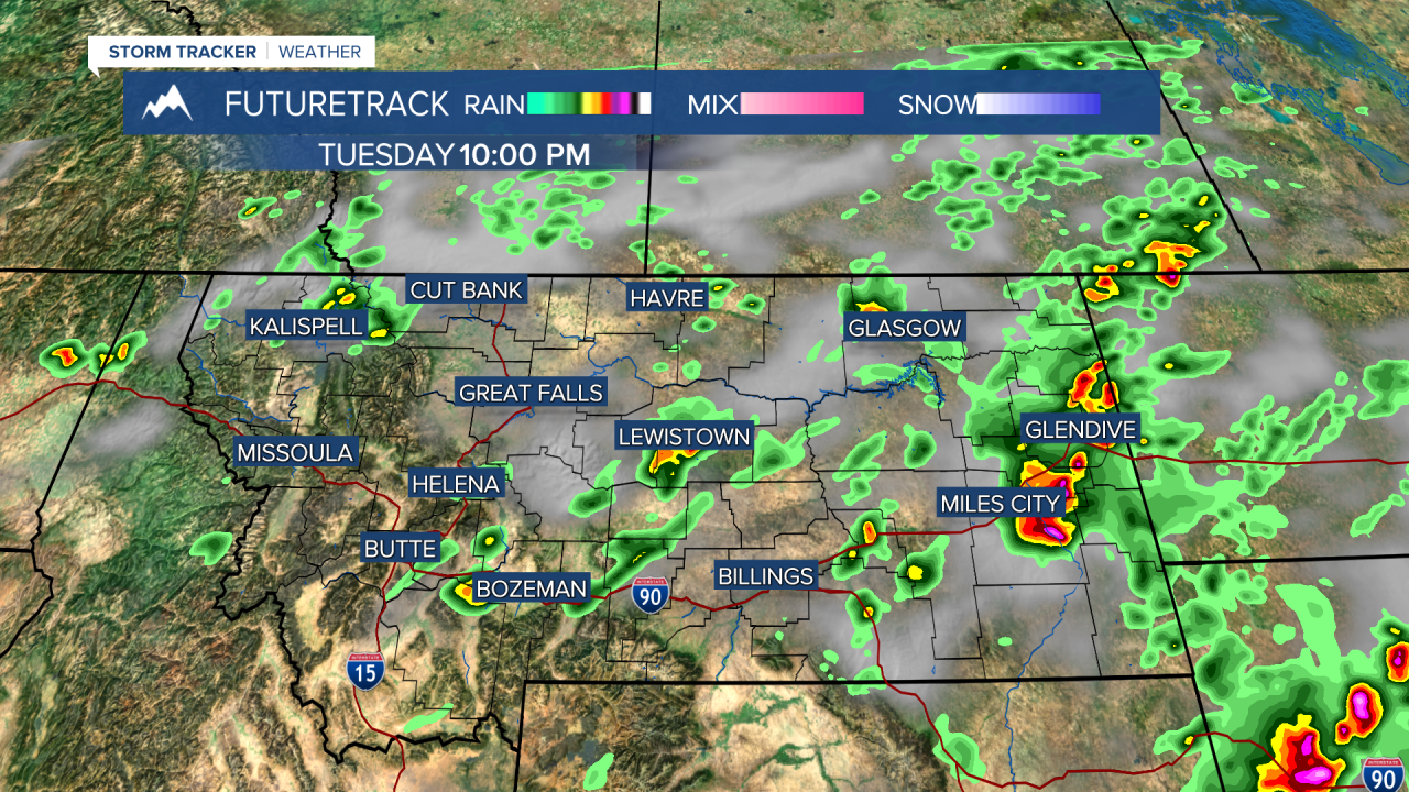
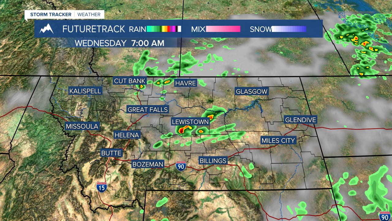
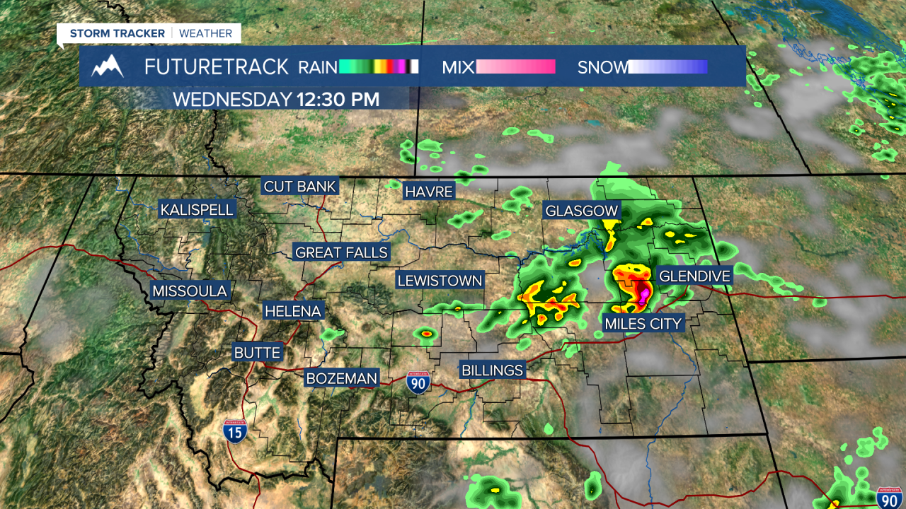
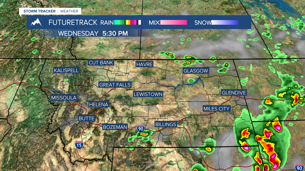
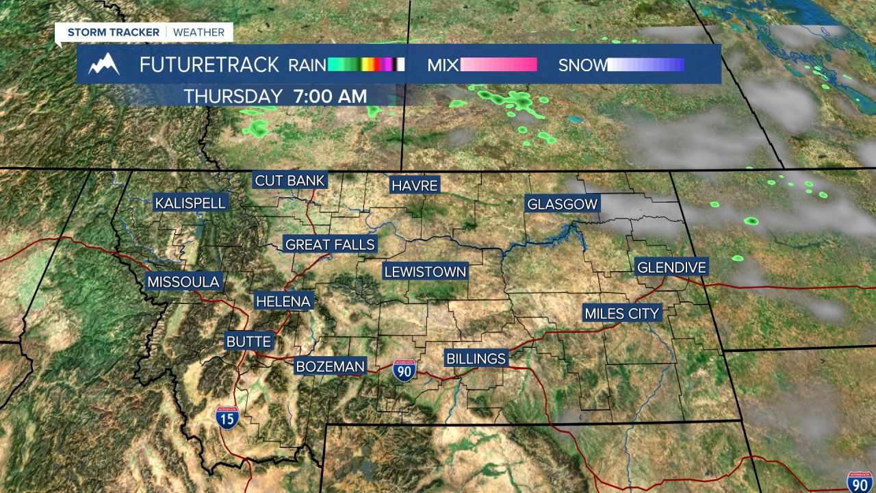
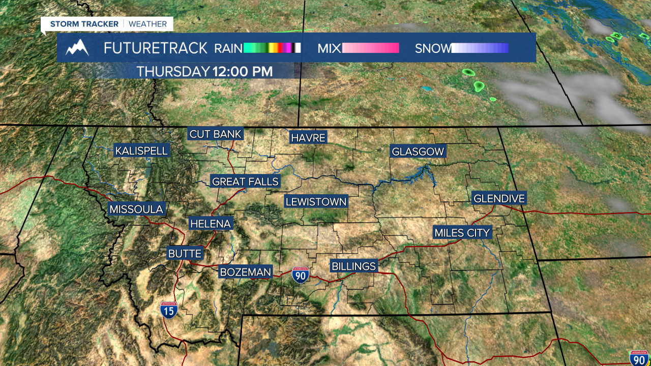
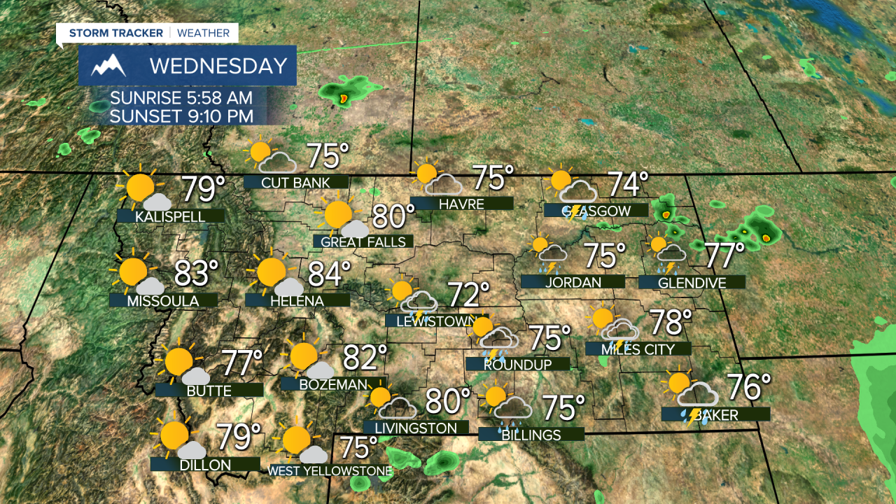
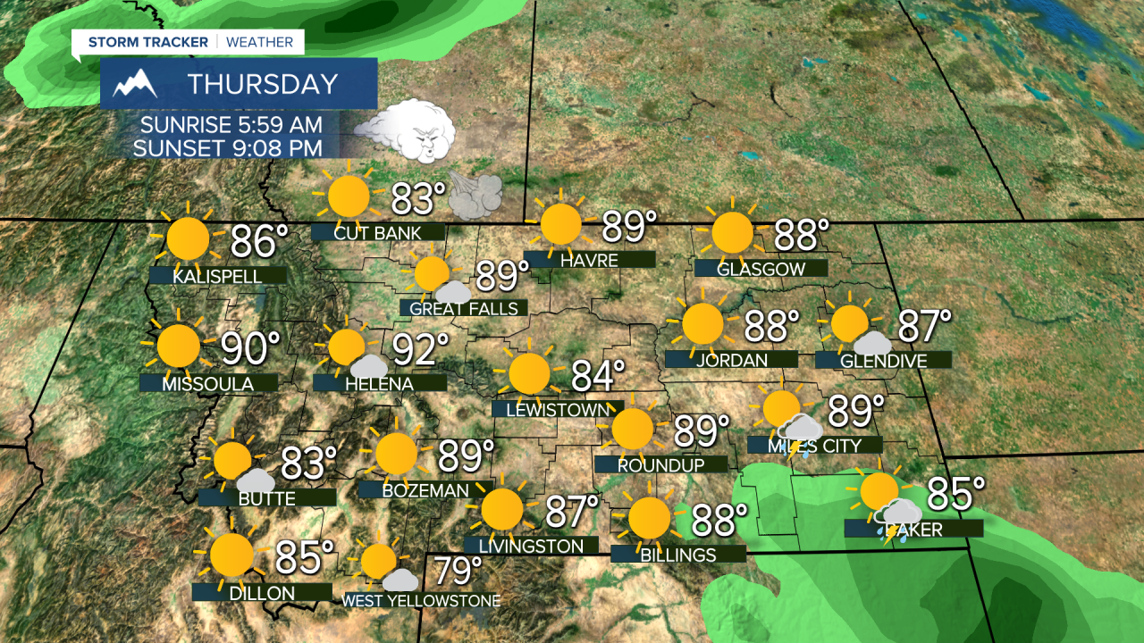
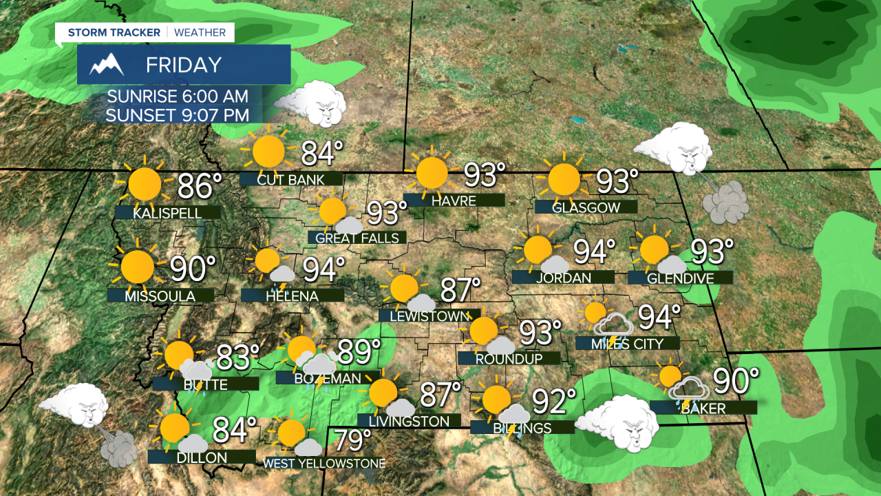
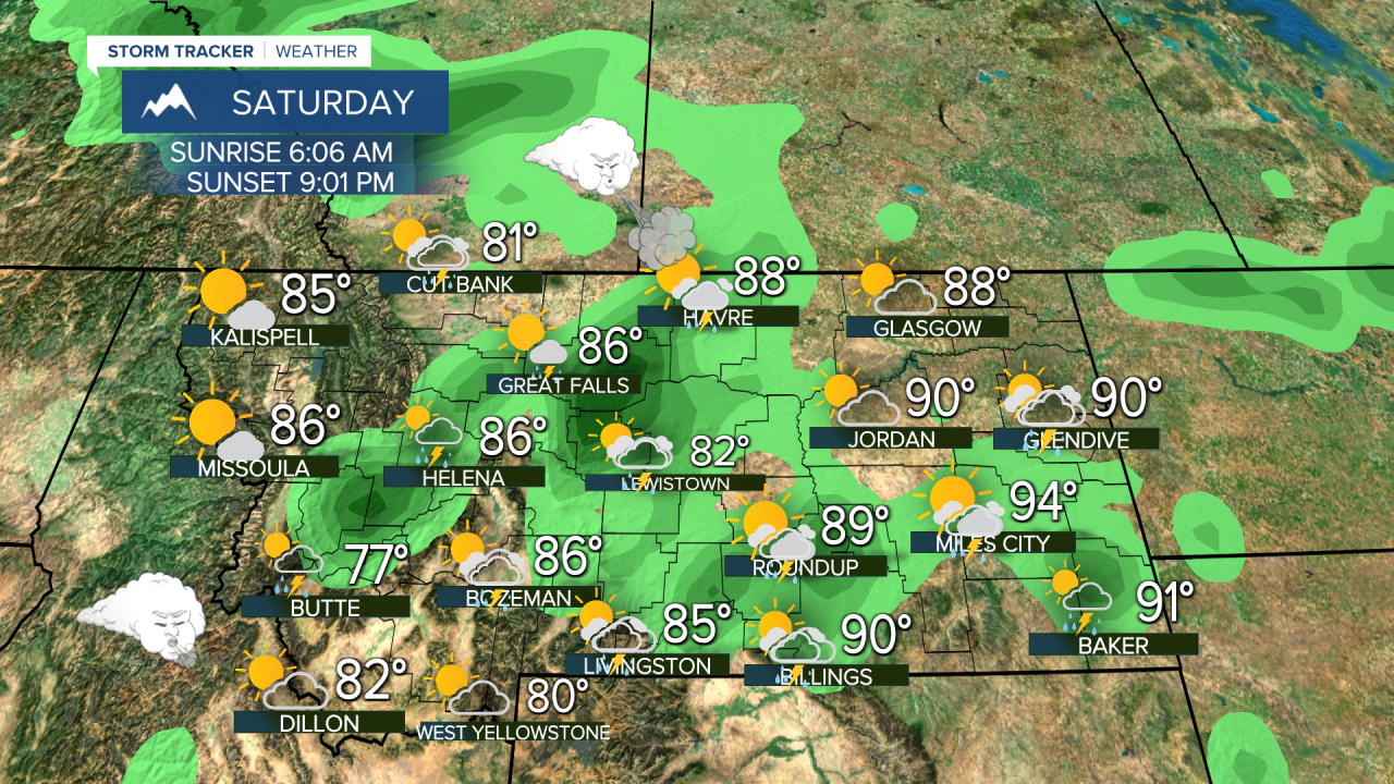
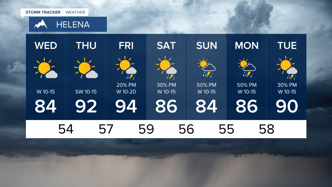
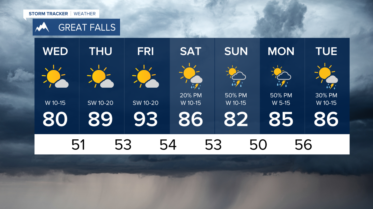
Another impressive July storm is producing thunderstorms and heavy rain and this storm will slowly move out through Wednesday. This latest round of cool and wet July weather has been an exclamation point on a cool and wetter than normal month. It will get hot and there will be more wildfire activity yet this summer, but the pattern this month has held some of the wildfire danger at bay. Wednesday, the unsettled weather will move through and out of eastern Montana. Most of the western half of the state will be dry and mostly sunny. Highs will range from the 70s to the low 80s. Thursday will heat up a bit with temperatures getting into the 80s and low 90s under mostly sunny skies, a bit more typical for this time of year. Friday will be mostly sunny, hot and breezy with isolated afternoon thunderstorms. Highs will top out in the 80s to the mid 90s. This weekend the Last Chance Stampede and Fair as well as the State Fair are going on. It will be warm but not as hot as it seems to always get for these fairs. Highs will be more in the 80s with an isolated thunderstorm on Saturday, Sunday will have scattered afternoon thunderstorms.
Have a great day,
Curtis Grevenitz
Chief Meteorologist

