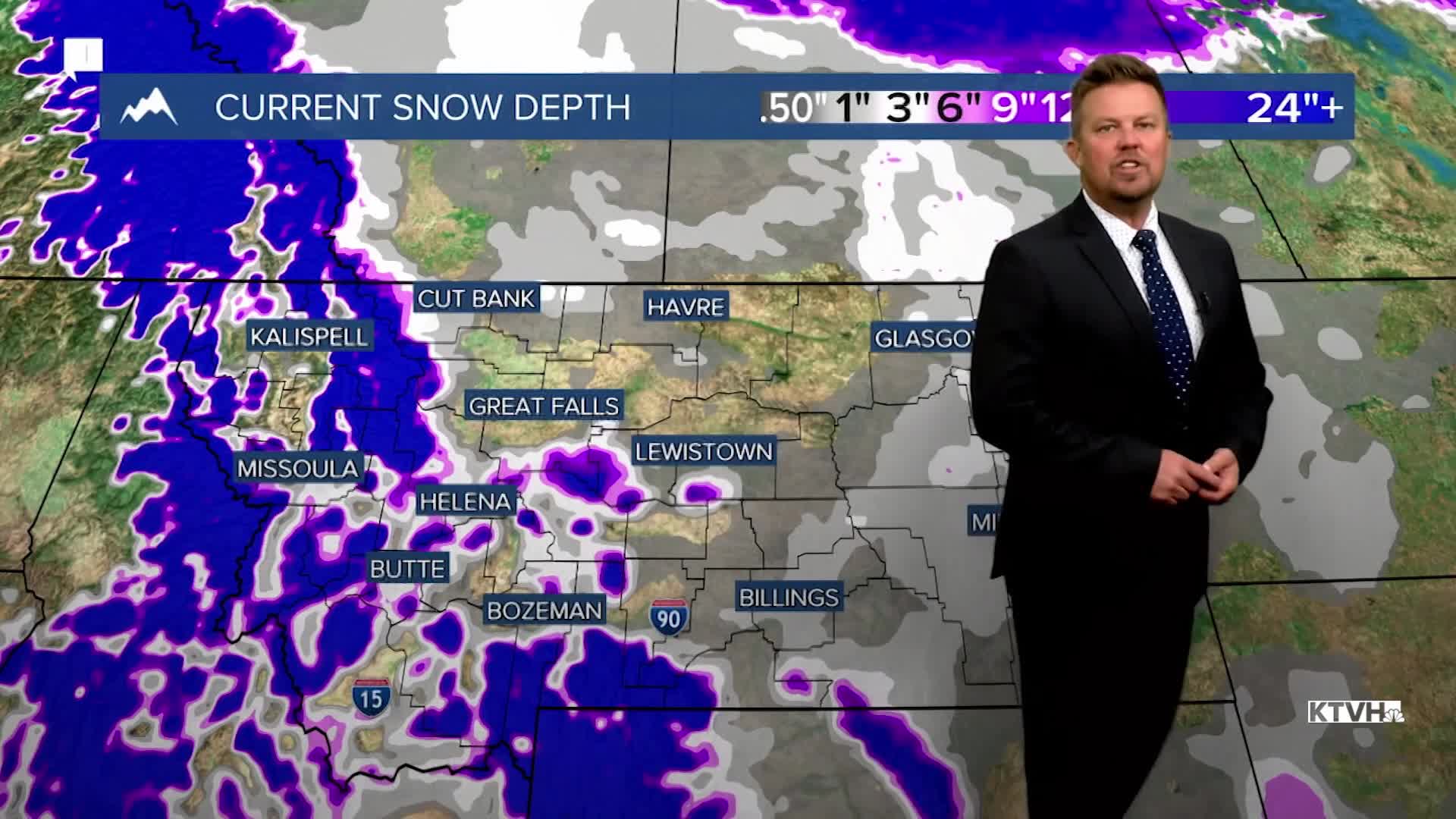


An unusually cold and snowy stretch at the end of April will slowly come to an end this week with gradual drying and warming weather. Many areas of Montana had rounds of accumulating snow and record cold temperatures. As we go through this week, the temperatures will slowly climb and the showers of rain and snow will slowly dry up. Tuesday will be another showery day with partly to mostly cloudy skies. Mixed showers of rain and snow, with a few isolated thunderstorms are possible in the lower elevations. The mountains will have some snow showers that could briefly be heavy. Highs will top out in the 40s and 50s, with some 30s in the mountains. Wednesday will be one last showery day under partly to mostly cloudy skies. Temperatures will be about the same. Thursday is the final day of April and it will be beautiful with highs in the 60s under mostly sunny skies. Friday, the 1st of May will be mostly sunny and warmer with highs in the 60s and 70s. A weak system will move through the state on Saturday with scattered showers and isolated thunderstorms. A few showers may linger on Sunday, but it will be a drier day. Highs this weekend will top out in the 50s and 60s. Active weather with more moisture is likely next week, with the possibility of more mountain snow.
Have a great day,
Curtis Grevenitz
Chief Meteorologist
