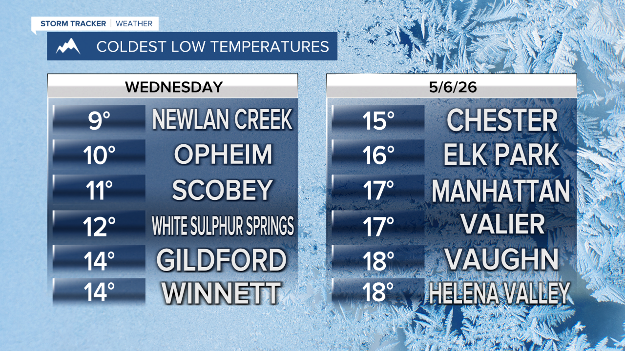


Brrrr! Wednesday morning was quite chilling as many areas in Montana had record cold overnight temperatures. With a lot of sunshine, those temperatures rebounded and will stay warm for a while so you don't have to worry about a hard freeze and frost anytime soon. Thursday is when the next storm system moves through the state with scattered showers and thunderstorms, highs will be in the 60s to near 70. Friday will be on the cloudier side with a few lingering showers or storms up on the Hi-Line. It will stay warm with highs in the 60s to around 70s. This weekend will start off unsettled with partly to mostly cloudy skies and scattered showers and thunderstorms, with a touch of high mountains snow on Saturday. Highs will be in the 50s and 60s. Sunday for Mother's Day it will be a magnificent day with mostly sunny skies and highs in the 70s. While the weather will remain active through next week with some days of scattered showers and thunderstorms, there does not appear to be any major storms, late-season blizzards, or severe weather outbreaks anytime soon. Enjoy the relative quiet while we have it.
Have a great day,
Curtis Grevenitz
Chief Meteorologist
