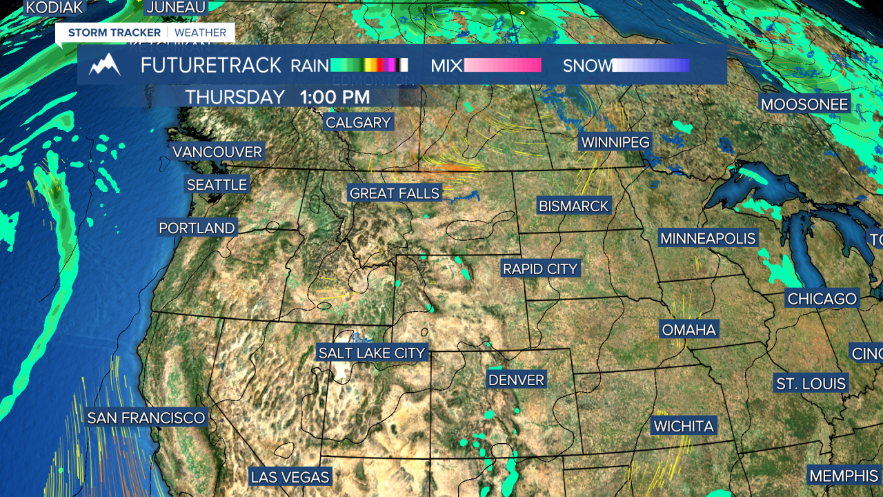
It's the end of August but Mother Nature will be dialing up the heat this week into Labor Day Weekend. This is not good. Record heat is possible along with several bouts of wind. This combination will create even more dangerous fire weather conditions. A sprawling high pressure will develop over western North America allowing for widespread heat. The lack of much thunderstorm activity may be a silver lining because without lightning strikes, there will not be any new wildfires started by Mother Nature. Any fires would have to be human caused, so let's all be careful. Tuesday's temperatures will top out in the upper 80s to mid 90s. The wind will be light out of the east. Wednesday will be a few degrees hotter with afternoon temperatures in the 90s across the state. A bit of a southwest wind will develop late. If there is an isolated thunderstorm this week, it will be Wednesday evening as a weak disturbance and cold front move into the state. This front will cross the state by Thursday afternoon. Temperatures will take a small dip of only a few degrees as highs will still be in the 80s and 90s. The wind behind that front could gust in excess of 20mph. Friday will be sunny and hot with highs in the 80s and 90s, but the wind will not be bad. Labor Day Weekend will be hot, dry and breezy. Record temperatures are possible all three days. After a moderate breeze on Saturday, Sunday and Monday's wind will increase with gusts topping 20-30mph. Wildfire smoke may also increase from growing fires outside of Montana. There are several large fires emitting smoke in Idaho, Oregon and northern California. Please be extra careful this weekend to not start any fires.
Curtis Grevenitz
Chief Meteorologist


