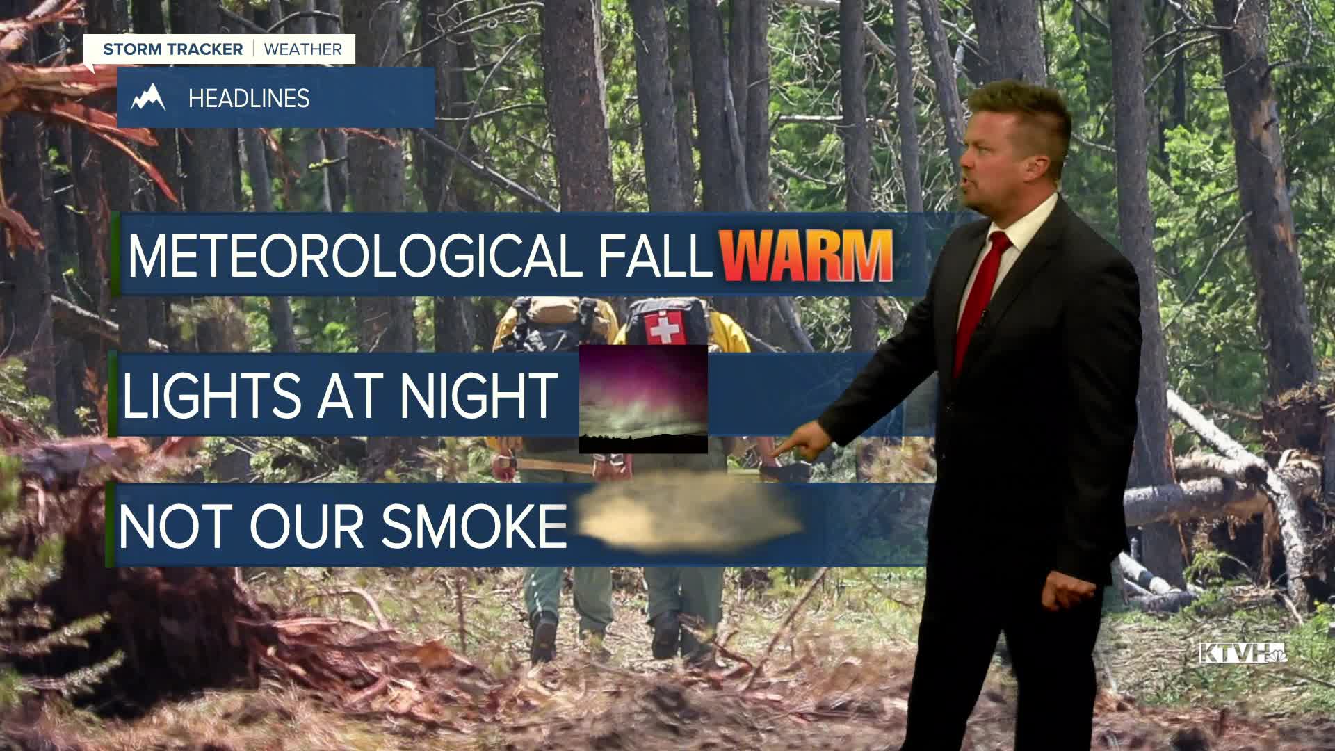


Happy Labor Day! Happy Meteorological Fall! The unofficial end of summer was a warm one and above average temperatures will continue for most of Montana this week. A northerly flow from Canada will deliver a series of cold fronts that will mainly deliver wildfire smoke more than anything. Temperatures will vary greatly from western to eastern Montana. While most of the state will have above average temperatures through the week, eastern Montana will experience a fall feel with below average temperatures. Colder air will spill into the northern plains where some snow could even fly in the arrowhead of Minnesota. The first in a series of cold fronts will move through Montana on Tuesday. A north wind will push Canadian wildfire smoke down across Big Sky Country. Temperatures will not cool off that much and isolated thunderstorms will be limited to far eastern Montana. Canadian high pressure will build into the state on Wednesday with partly to mostly sunny skies and a bit of haze from the Canadian fires. Temperatures will cool off farther east but much of central and western Montana will stay warm, if not hot. Another front will come down on Thursday with the possibility of more smoke, cooler temperatures east, and warmer weather to the west. Friday will be a pleasant day besides the smoke with mostly sunny skies and temperatures closer to normal. A few thunderstorms may return to western Montana on Saturday. The weather pattern will change this weekend with cooler temperatures and a return of some showers and storms through Sunday and Monday. The air quality should improve as well.
Have a great day!
Curtis Grevenitz
Chief Meteorologist
