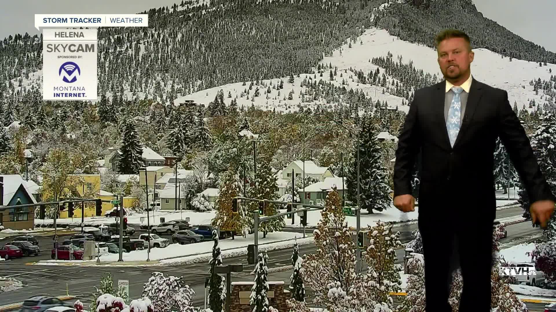


The first significant snowstorm of the season produced a lot of snow in parts of Montana, and that snow will stick around the next few days as temperatures slowly warm. The recent heavy snow is still weighing down trees and branches so use caution if you're out walking or shoveling as more branches may come down. It will be a slow melt with more sloppy weather the next few days. The storm system that produced all of this snow, generally between 3-12", is moving down into California but will make another run at the northern Rockies. The storm will move northeast over the next few days, keeping some sloppy weather around with a mix of rain and snow in the lower elevations with some more snow in the mountains. Tuesday will be a mostly cloudy to overcast day with a few rain/snow showers in the lower elevations. Temperatures will stay well below average in the 30s and 40s for highs. The best chance for some of these rain/snow showers will be in southern and western parts of the state. Wednesday will be another gray, sloppy day. Temperatures will warm up a bit into the 40s, allowing for a slow melt. Low pressure moving up through the Rockies could bring a bit more rain and rain/snow to the lower elevations with snow in the mountains along and east of the Continental Divide. Snow accumulation should be confined to the mountains but a slushy accumulation is possible in some of the lower elevations Wednesday night into Thursday morning. The stubborn storm will spread some showers across eastern Montana on Thursday as it begins to move away. Highs on Thursday will top out in the 40s and 50s, continuing to melt the snow. Friday will be a partly cloudy, breezy and warmer day with highs in the 50s to near 60. A weak cold front could produce a few showers mainly over the mountains. This weekend will be partly to mostly cloudy, windy across the plains and over the Divide, and dry. Highs will reach the 50s and 60s both Saturday and Sunday. A chinook arch cloud formation off the Divide should keep adjacent areas mostly cloudy. A new storm will move in for Monday and Tuesday of next week with another chance of rain and snow in the lower elevations with snow in the mountains. The weather should be active through the rest of October with temperatures moderating closer to average after all this snow.
Have a great day,
Curtis Grevenitz
Chief Meteorologist
