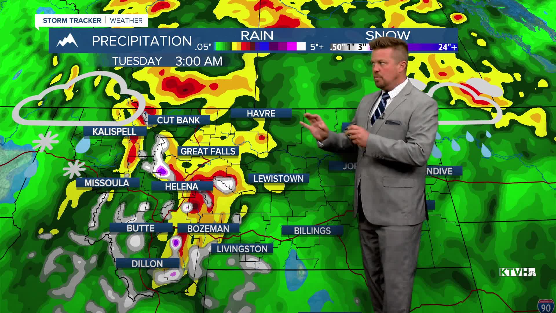


An unusual storm for late June will bring significant rain, cool temperatures and high mountain snow to much of the northern Rockies and Pacific Northwest through the weekend. A very large, slow moving storm will set up shop across Montana for days with thunderstorms, rain, wind, cooler than normal temperatures, and the possibility of heavy mountain snow. Thursday will be partly to mostly cloudy with scattered showers and thunderstorms across most of Montana. The clouds and wet weather will cool temperatures back down into the 60s and 70s. Friday, a strong cold front will move into western Montana with increasing clouds and scattered showers and thunderstorms. Eastern Montana should be dry until much later in the evening, but those thunderstorms arriving late could be strong to severe with large hail and damaging wind. This weekend will be wet, cool, windy with some high mountain snow. Rain and a few thunderstorms will spread across the state on Saturday. Some severe storms are possible across far eastern Montana on Saturday afternoon. Highs will cool down into the 60s. Sunday will be cloudy, rainy and windy with some high mountain snow. Steady, soaking rain will fall in some areas. Highs will top out in the 50s and 60s. The mountains above 7000' will be cold enough for that summer snow. Areas of heavy rain could continue into Monday, and there is the possibility of flooding in some areas around Glacier. This storm is still days away and some change in the forecast is possible, but the first full weekend of summer will be more like spring.
Have a great day!
Curtis Grevenitz
Chief Meteorologist
