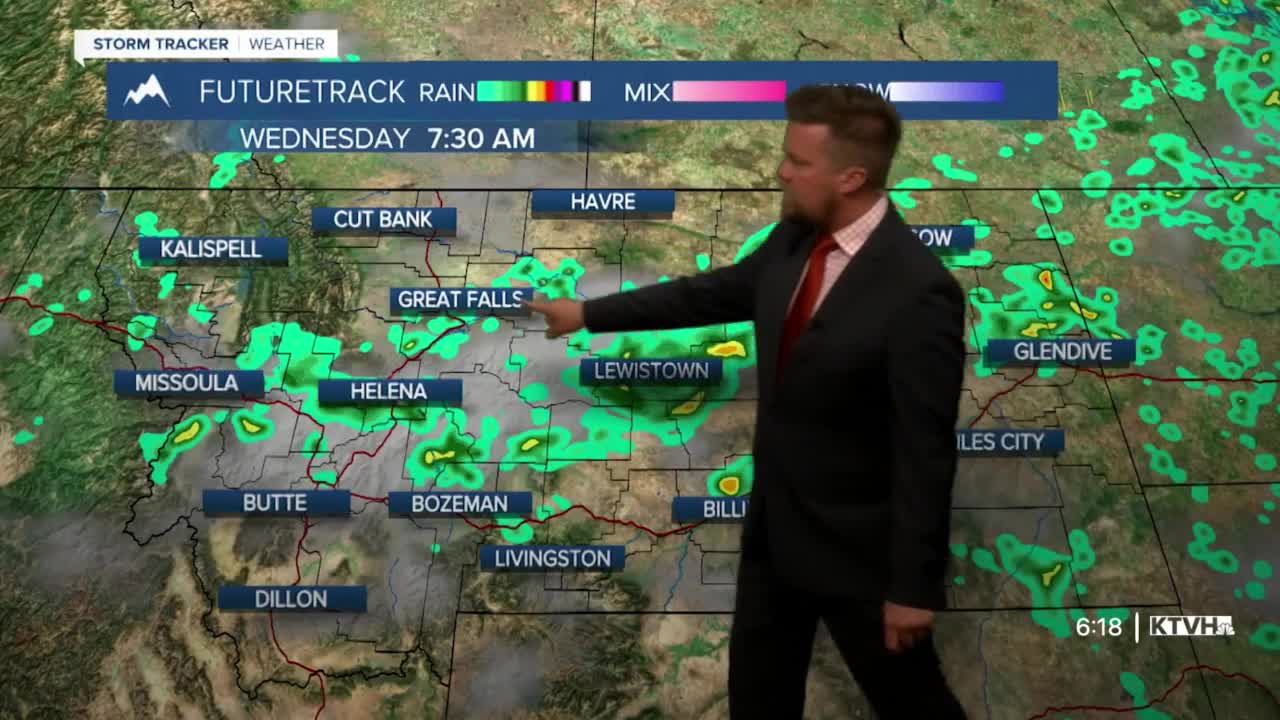


A cold front is triggering thunderstorms across Montana but will also bring significant smoke from Canadian wildfires. The air quality in Cut Bank is UNHEALTHY, and this smoke will continue to move south through the state with air quality decreasing. When the air quality is "UNHEALTHY" that means everyone should avoid exerting themselves while outside. Close your doors and windows to keep the poor air out. The front will continue to spread thunderstorms and smoke across Montana into Wednesday. Scattered showers and storms will continue early on Wednesday for central and southern Montana, with clearing through the afternoon. Skies will be partly to mostly cloudy with highs in the 60s and 70s. Air quality will range from "UNHEATHLY FOR SENSITIVE GROUPS" to "UNHEALTHY" for all. Thursday will be mostly sunny if not clear with highs in the 60s to around 70. However, this high pressure and a north flow from Canada will steer more smoke across Montana. Some rain is likely over the Canadian fires the next few days. Friday will be mostly sunny and warmer with highs in the 70s and low 80s. Some wildfire smoke may still persist making for gray-ish brown skies and continued decreased air quality. This weekend will be warm with the chance of more thunderstorms. Saturday will be mostly sunny with isolated afternoon storms and highs in the 70s and 80s. Sunday will be partly cloudy with scattered strong to severe thunderstorms likely in the afternoon. Highs will be in the 70s and 80s.
Curtis Grevenitz
Chief Meteorologist
