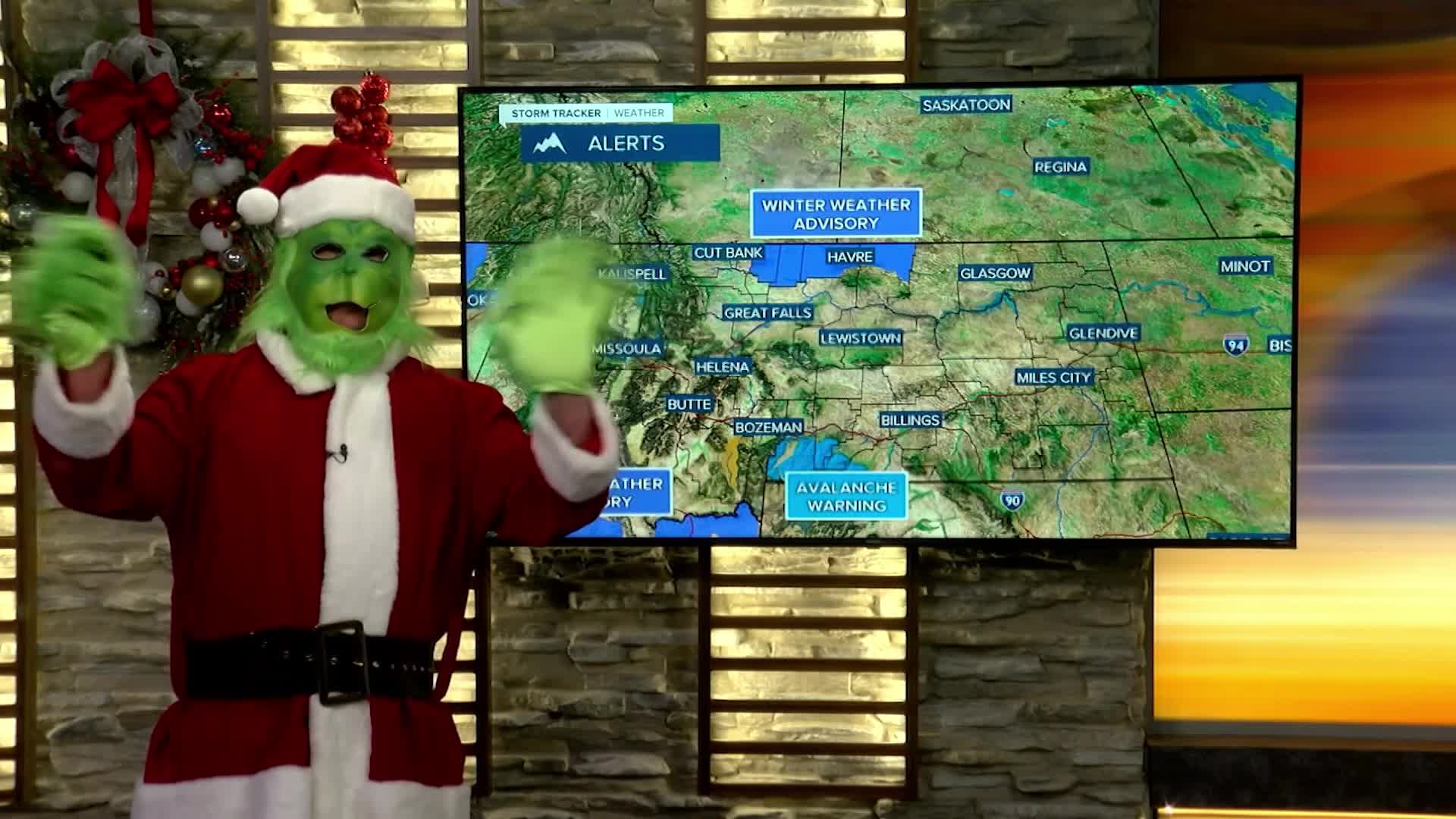


A WINTER WEATHER ADVISORY has been issued parts of the Hi-Line into Wednesday morning.
A WINTER WEATHER ADVISORY has been issued for near Monida Pass to West Yellowstone for Wednesday into Thursday.
A HIGH WIND WARNING has been issued for the Madison Valley through Wednesday.
An AVALANCHE WARNING is in effect for the Absaroka and Beartooth Mountains.
It does not look like many places in the lower elevations will have a white Christmas, but there will be some freezing rain and ice instead. Christmas Eve will be partly cloudy for a good part of the day but clouds will increase late with an outside chance of a rain or snow shower. Highs will be mild in the 40s for most areas. From about Great Falls north, highs will be in the 10s, 20s and 30s. After dark on Christmas Eve into Christmas morning, an area of light rain, some freezing rain, and some snow will move through the state. When you wake up on Christmas Day there may be a coating of ice and snow, or just wet ground. Areas of north-central Montana could have a light accumulation of ice making it very, very slippery. Please be careful. After some morning freezing rain, Christmas Day will turn partly cloudy with mild temperatures in the 30s and 40s. Friday will be mild and mostly cloudy but a strong cold front will dive south from Canada through Friday night into Saturday morning. A period of snow will accompany the front along with colder temperatures. Saturday will turn partly cloudy with highs in the 0s and 10s north, 20s and 30s south. High pressure will move in on Sunday with mostly sunny skies. At this time, the valleys will likely form inversions and be colder and calm. The plains will see warmer temperatures with stronger wind. This pattern should continue through the beginning of the week.
It's almost Christmas,
Curtis Grevenitz
Chief Meteorologist
