


A HIGH WIND WATCH has been issued for the Rocky Mountain Front and East Glacier area.
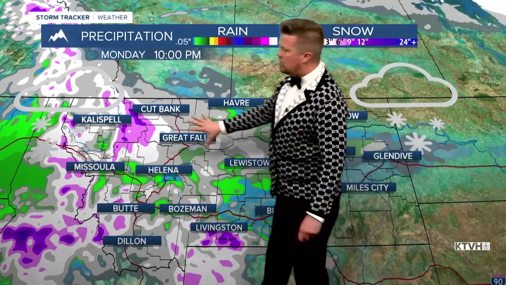
This weekend will continue to be warm with even a few record highs possible but snow is back on the menu in Montana as the weekend comes to an end. It's not a huge storm, but it's a storm. After this dry and warm stretch, much needed precipitation will come at the end of the weekend into Monday. The start of the weekend will be partly cloudy and warm with highs in the 50s and 60s. Sunday is when changes will start to happen. Clouds will increase and highs will only be in the 40s and 50s. A cold front will move through Sunday night into Monday bringing a chance for rain and snow and falling temperatures. Highs will be much colder on Monday, in the 30s and 40s with some areas of snow. Most of the accumulation should be in the mountains but it's a little closer to normal. The pattern looks to stay more active and colder in Montana and the West through the middle of February at least.
Have a great weekend,
Curtis Grevenitz
Chief Meteorologist
