

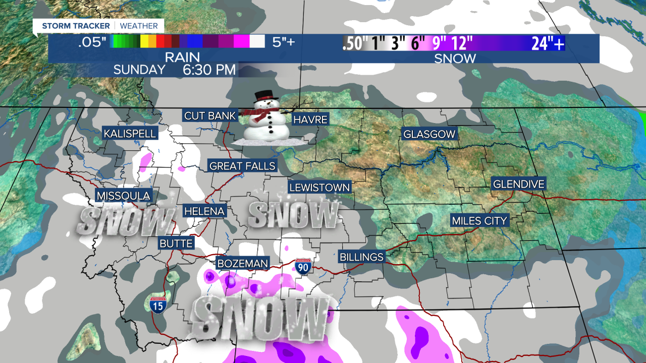


Instead of "raining cats & dogs", it will be "snowing Cats & Grizz" for parts of Montana as a new storm drops south out of Canada. It's pretty potent little front that will kick off some heavy snow showers while delivering some colder air headed into the weekend.
Friday will be mostly cloudy with those snow showers developing through the day first up in the East Glacier area and then spread south and east through the afternoon and evening. There will be areas of heavy snow showers through Friday night into Saturday. A few inches will accumulate in the mountains, and some of the lower elevations could experience heavy snow showers that may accumulate between 1-3". The roads will have areas of snow and ice on them as the temperatures stay cold. High pressure will move in Saturday night with clear skies and very cold conditions. Sunday will have increasing clouds and a little light snow or some flurries. While next week gets a little warmer into the 30s and 40s, there could be some strong wind and more mountain snow heading into Thanksgiving.
Have a great day,
Curtis Grevenitz
