


A WINTER WEATHER ADVISORY remains in effect for the Rocky Mountain Front, portions of west-central, southwest, and south-central Montana until late morning/early afternoon.
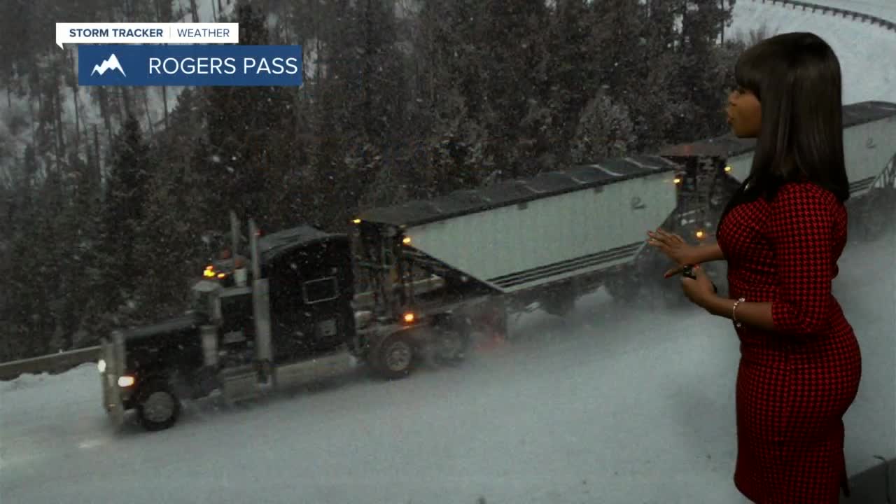
Morning snow and freezing drizzle are making for a sloppy morning commute. Visibility will be challenging, and the roads will be slick, especially across mountain passes such as; MacDonald, Rogers, Kings Hill, Marias, and Bozeman Passes. Scattered snow showers will fizzle out by late morning/early afternoon. The heaviest snow amounts will favor the Rocky Mountain Front. The lower elevations' snow totals will stay under four inches. Today's high temperatures will remain below average, and most location daytime highs will cool to the 30s and 40s.
Waking up Saturday morning, prepare for areas of patchy freezing fog and cooler temperatures. Daytime highs will be slightly warmer than today but will remain below average. Most of the region will have mostly cloudy skies and wet conditions. Rain showers will fall in the lower elevations; as the temperatures cool, a mix of rain/snow will then fall. The higher elevations will have a better chance of getting accumulating snow.
Sunday will be similar to Saturday's weather conditions; daytime highs will trend in the 40s and 50s, the state will have a little more clouds on tap than sun, and another batch of moisture will make for messy road conditions.
Looking ahead into next week, the state will start with unsettled conditions but will not end that way.
By Tuesday, the temperatures will top out in the 50 and 60s, and the sun will return.
Have a great weekend.
A. R. 😊
