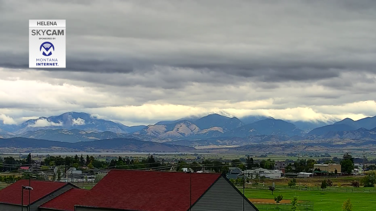
Montana is getting quite the cooldown with this low pressure system as well as the first snow of the season! Lots of cloud cover dominating the region and very little sun, kind of giving a moody feel to the day.

Highs dropped to the 50s in much of our western Montana cities, while higher elevations saw temps only reach the 40s.
The has helped contribute to the first snow of the season. We're overall generally tracking about 1-3 inches of accumulation with this system, but certain areas could see above that amount depending on the strength of that localized precipitation.
We'll see similar conditions Friday before the system exits Montana over the weekend. We're talking highs in the 50s and more widespread rain and wet mountain snow.

Saturday, most of this system will stick around in the morning and exit by the afternoon bringing us some temporary warmer and drier conditions Sunday and at the start of the next work week.


