


A HIGH WIND WATCH has been issued for the Rocky Mountain Front and East Glacier area for Thursday afternoon into Friday afternoon.
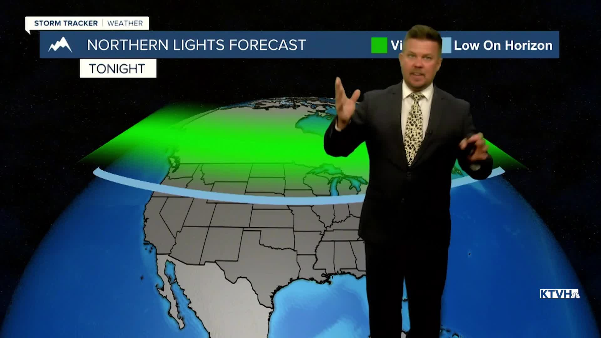
This weather is out of this world! The solar storm continues to hit Earth and there should be another showing of the northern lights. Although this part of the solar storm is not as strong, much of Montana and the northern United States should be able to see the lights again. Don't expect tonight to be as incredible as last night, but it'll be a good show as long as the clouds are not in the way. Back here on Earth, Thursday will be a warm November day with highs mainly in the 60s. A few spots in north-central Montana may hit 70 and a few record highs are likely. The wind will increase across the plains and the Rocky Mountain Front. Another cold front with little precipitation and a strong push of wind will move through on Friday. There will be some snow showers in the mountains, a few rain showers in the lower elevations, strong west wind, and highs in the 40s and 50s. This weekend will be fairly quiet. Saturday will be partly cloudy with a few isolated rain and snow showers over the mountains. It will be breezy. Sunday will be partly to mostly cloudy with wind returning to the plains. There are no strong storms systems or arctic air in the forecast. It might not be until Thanksgiving week until snow and cold return.
Have a great day,
Curtis Grevenitz
Chief Meteorologist
