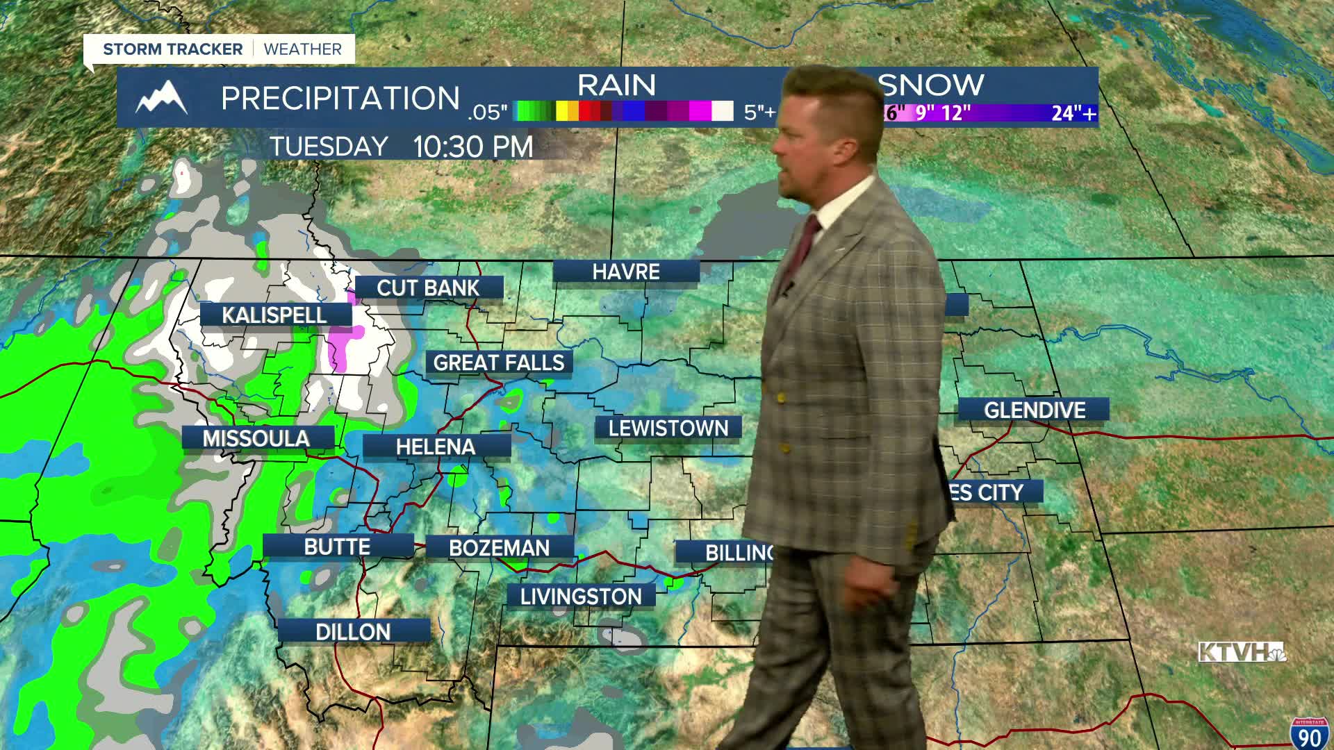


Light, spotty rain and snow will move across Montana at times the next few days but overall the weather will be fairly quiet. There are no watches or warnings for the state. Not to say there will not be activity. Weak waves of fronts will move through the state with spotty precipitation and bouts of wind. November can be a gray-ish month and that's how this month will start. Areas of light rain and snow will continue through Monday night into Tuesday. Tuesday will be on the cloudier side with some spotty light rain in the lower elevations and some flakes in the higher terrain. Highs will top out in the 40s to around 50. The wind will not be strong. Wednesday will begin on the cloudier side with a quick shower of light rain early in the morning. Most of the day will be dry with mostly cloudy to partly cloudy skies. Highs will warm into the 50s. Another front will move through Wednesday night into Thursday. Behind this front, the wind will be stronger with gusts topping 40mph. A few snow showers will dot the mountains. Highs will be in the 40s and 50s. Another front will come across the state on Friday afternoon with showers and a burst of mountain snow. Highs will top out in the 50s. Wind gusts will increase through the afternoon and evening, possibly gusting higher than 40mph. Slightly colder air will move into the state on Saturday with highs in the 40s to near 50. It will be breezy and cool. Sunday will be partly cloudy with temperatures getting a little warmer by afternoon. Both weekend days will be partly cloudy. Enjoy the quiet weather while we have it.
Have a great day,
Curtis Grevenitz
Chief Meteorologist
