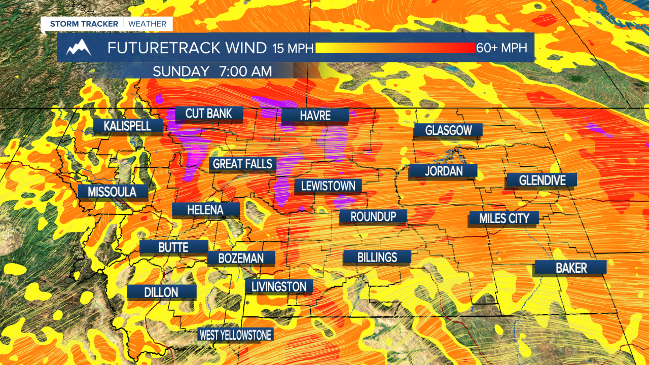
A HIGH WIND WATCH has been issued for most of northern Montana.
A WINTER WEATHER ADVISORY has been issued for along and west of the Continental Divide.
Goodbye March, hello April! March was a very cold and snowy month but the new month starts off stormy as well. A strong cold will cross the state on Saturday with the chance of mixed rain/snow showers in the lower elevations and snow in the mountains. Snow squalls and even a few rumbles of thunder are possible. Isolated thunderstorms will move out across central Montana through the afternoon and evening. Strong west wind will howl across the entire state making it uncomfortable to be outside. Highs will top out in the 40s to around 50, with 30s in the mountains. A howling wind will gust across the state through Saturday night. Scattered snow showers, strong wind and below average temperatures will continue for Sunday. Most of the lower elevations will be partly cloudy. Highs will be cooler in the 30s and 40s. A cold front will move through the state on Monday with mostly cloudy skies and a few flurries or snow showers. Highs will be in the 20s and 30s, well below average. Temperatures will be even colder on Tuesday with cloudy skies and scattered light snow showers. A large storm should mainly stay to the south of Montana moving through the central Rockies. A major change is likely towards Easter with some of the warmest weather of the year moving in. Finally it will look and feel more like Spring.
Have a great weekend!
Curtis Grevenitz
Chief Meteorologist


