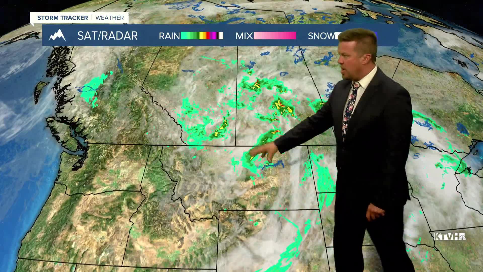


A big storm system with rain, thunderstorms, wind and even high mountain snow will continue to impact the state this weekend. The low pressure system will slowly move away through Saturday but showers and thundestorms will continue Saturday afternoon. Gradually the airmass will warm and dry late on Saturday. Highs again will be cooler than average, mainly in the 70s to around 80. West wind could gust over 20mph. Some Canadian wildfire smoke will move into northern and eastern Montana which may impact air quality later Saturday into Sunday. Sunday will be a much nicer day with mostly sunny skies and warmer temperatures in the 70s and 80s. Any wildfire smoke will move out of eastern Montana by the afternoon. Monday could hit 90 for some areas but another cold front will likely drop temperatures with a return of some storms by the middle of the week. This is the way the rest of summer should be with continued moisture and cooldowns.
Have a great weekend,
Curtis Grevenitz
Chief Meteorologist
