

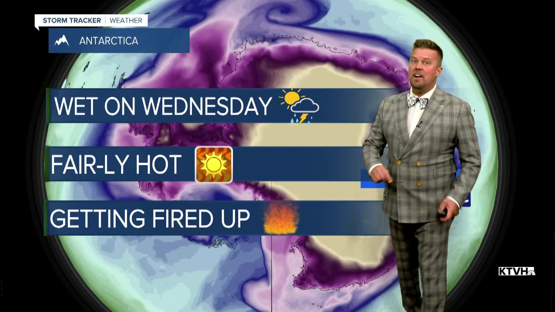


A FLOOD WATCH has been issued for much of southern Montana for Wednesday afternoon and evening.
Some monsoon and tropical moisture will return the next couple of days with scattered thunderstorms, but it looks quite hot and dry for the rest of July. Wednesday will have a little more sunshine and heat. Highs will top out in the 80s and low 90s. Thunderstorms will develop in southwest Montana and move northeast through the afternoon. It's likely that the Helena area sees some storms, and they may reach as far north as Great Falls later on Wednesday evening. A few isolated storms will pop along the Rocky Mountain Front and East Glacier area. The storms have the potential of putting down some very heavy rain. Thursday will be partly cloudy with a few scattered thunderstorms developing in the afternoon and evening. Highs will warm up into the 80s and 90s, more typical for this time of year. Any thunderstorm activity with diminish Thursday night and we should not see any moisture for through Friday and the weekend. It'll be a hot, dry and windy stretch. The fire danger will be bad through the weekend, and wildfire smoke from Washington and Oregon will likely fill our skies. The Last Chance Stampede and Fair as well as the State Fair will be going on through the weekend, so make sure to stay cool and hydrated while out enjoying those events. The weekend will be sunny, hot and windy. Highs Friday through Sunday should be in the 90s to around 100. Climatologically, this is the hottest time of the year and we have some serious heat on the way.
Have a great day,
Curtis Grevenitz
Chief Meteorologist
