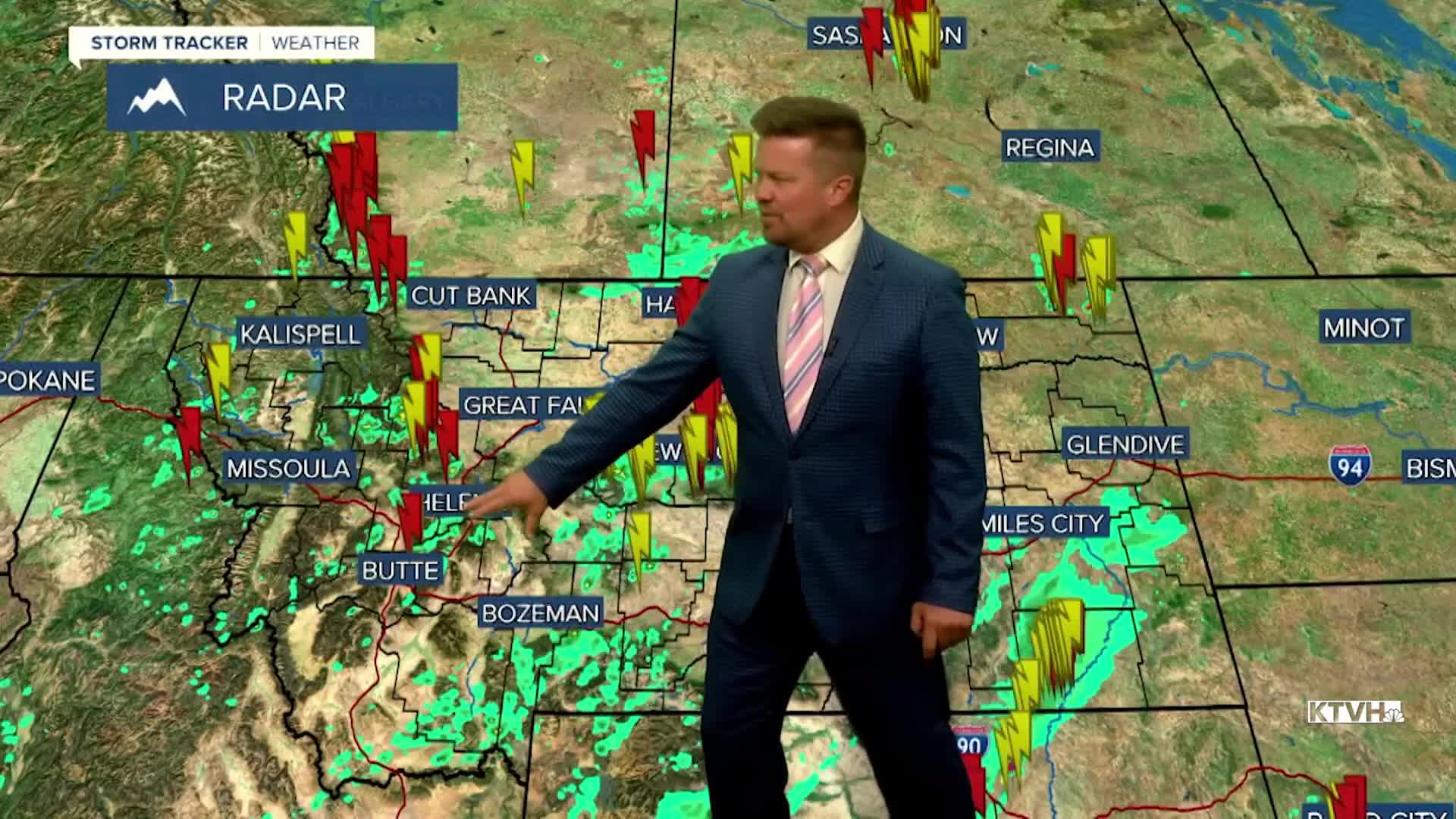


Welcome to the weekend! The slow moving storm system that's been affecting Montana and much of the West will continue to impact the state at the start of the weekend. Showers and thunderstorms will be an issue on Saturday but the low pressure will finally move out for Sunday. The storm activity will continue to keep cleaning out the wildfire smoke and minimizing the fire danger. Fire season is not over but it's slowing to hush as the summer season nears its end. However, still some active fires in Washington may spread some smoke east by Sunday as the wind flow switches around to the west, pushing smoke back into Montana. Skies may get a little hazy and the air quality could become "moderate" or possible even "unhealthy for sensitive groups". The weekend will start off a little unsettled with partly to mostly cloudy skies and isolated showers and thunderstorms on Saturday. There will be some sun mixed in. Highs will be in the 70s. Sunday will be a nicer day with mostly sunny to partly cloudy conditions. There's a slight chance of a thunderstorm late in the evening but most of the day will be very nice. Highs will again top out in the 70s to around 80. Another storm will bring widespread rain on Monday. The moisture will clean out the smoke and bring us closer to the end of fire season. Showers will continue on Tuesday.
Have a great weekend,
Curtis Grevenitz
Chief Meteorologist
