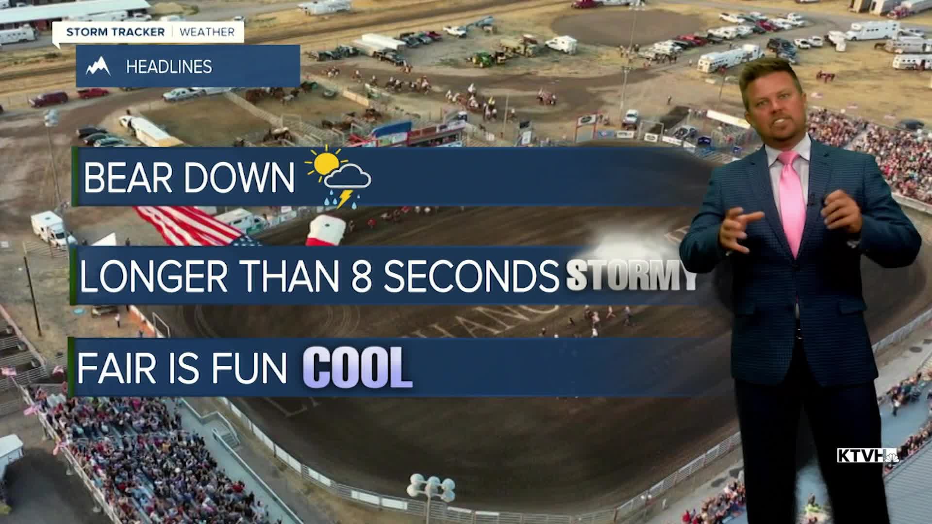


The wet, stormy and relatively cool July weather pattern will likely stretch into the beginning of August. After a couple of warmer days, temperatures will drop back below average as thunderstorms become more widespread. The last week of July is typically the hottest of the year but this summer has been different and cooler than average temperatures will continue with above average moisture. This weekend the Last Chance Stampede and Fair as well as the State Fair and Red Ants Pants Festival are all going on. It will be warm but not as hot as it seems to always get for these events. Highs will be more in the 80s with scattered thunderstorms on Saturday and Sunday afternoons. Partly cloudy skies with scattered afternoon thunderstorms will continue with temperatures mainly in the 70s and 80s next week. July will end on an unusually wet and cool note with August picking up right where July left off.
Have a great weekend,
Curtis Grevenitz
Chief Meteorologist
