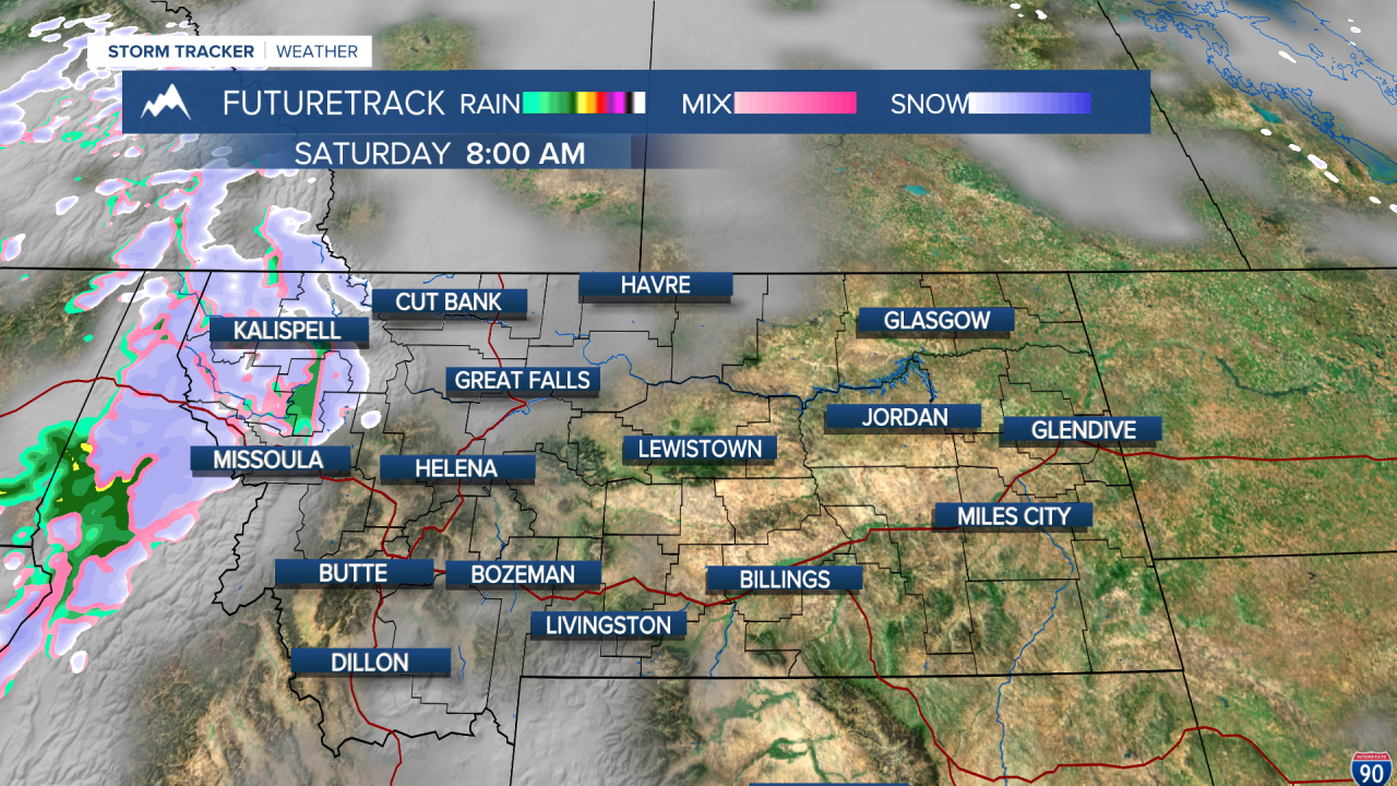
This will be a pretty stormy stretch over the next week or so. Much of Montana continues to be in a drought, and this active pattern will likely at least help with the drought situation. However, the precipitation is more showery than anything else. For this to be a drought buster, there would need to be several inches of rain. The next few weeks into the middle of April will have opportunity for more wet weather, and some places in Montana may have more snow this month than the month of February. The first weekend in April will have one nice day and one not so nice day. Saturday will be the stormier day with showers of rain and snow in the lower elevations, snow flying in the mountains, a fair amount of cloud cover, strong west wind and cool-ish temperatures in the 40s and 50s. An isolated thunderstorm is possible in central and eastern areas later Saturday afternoon. Sunday will be a drier day with more sunshine and highs will rebound back into the 50s to near 60. Another storm with mixed precipitation in the lower elevations and snow in the mountains will move in for Monday and Tuesday. The wind will be very strong both Monday and Tuesday. Accumulating snow is a certainty in the mountains from Monday into Wednesday, but parts of north-central Montana could have accumulating snow and a lot of wind early next week. This storm's wind will have the greatest effect on Montana, but temperatures will be cold and areas of snow will fly all the way into Wednesday. .
Curtis Grevenitz
Chief Meteorologist


