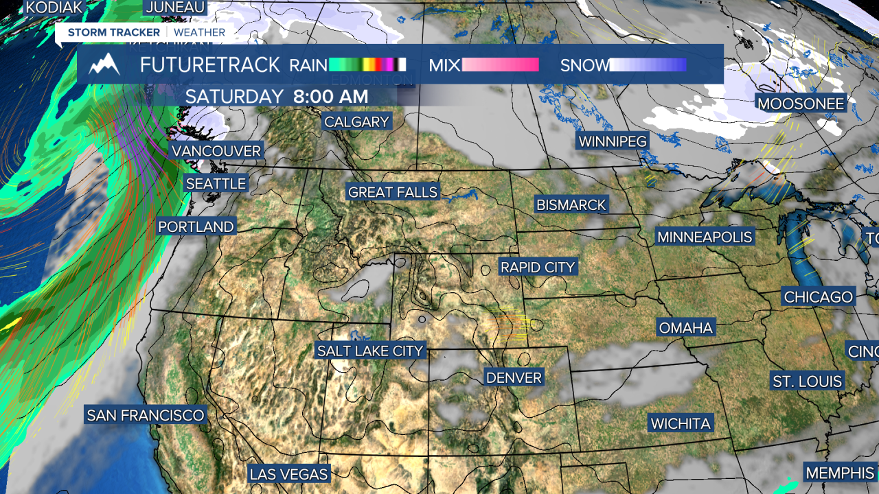
After a stretch of record cold and subzero temperatures that got down to -41, the temperature pendulum is swinging the other way. Thursday was by no means a warm day, with highs still running 20 degrees below normal. However, many areas were 10-20 degrees warmer than the last few days. Each day through the weekend should get incrementally warmer as the arctic airmass moves out and is replaced by a Pacific airmass. Friday will be mostly sunny but windy and cold, with highs in the 20s to around 30. Temperatures will start to warm for Saturday with highs breaking the freezing point for a change and skies will be mostly sunny. It will be windy on the Divide and over the plains. Sunday will be partly cloudy with warmer temperatures in the 40s to around 50. The warmup continues for Monday with some areas reaching the lower to mid 50s. The pattern for next week will be mild with more rain and snow west of the Continental Divide. Toward the end of the week and the first weekend of March, a stronger and colder storm could mean significant snow for the state. We certainly do need the moisture.
Have a great day.
Curtis Grevenitz
Chief Meteorologist


