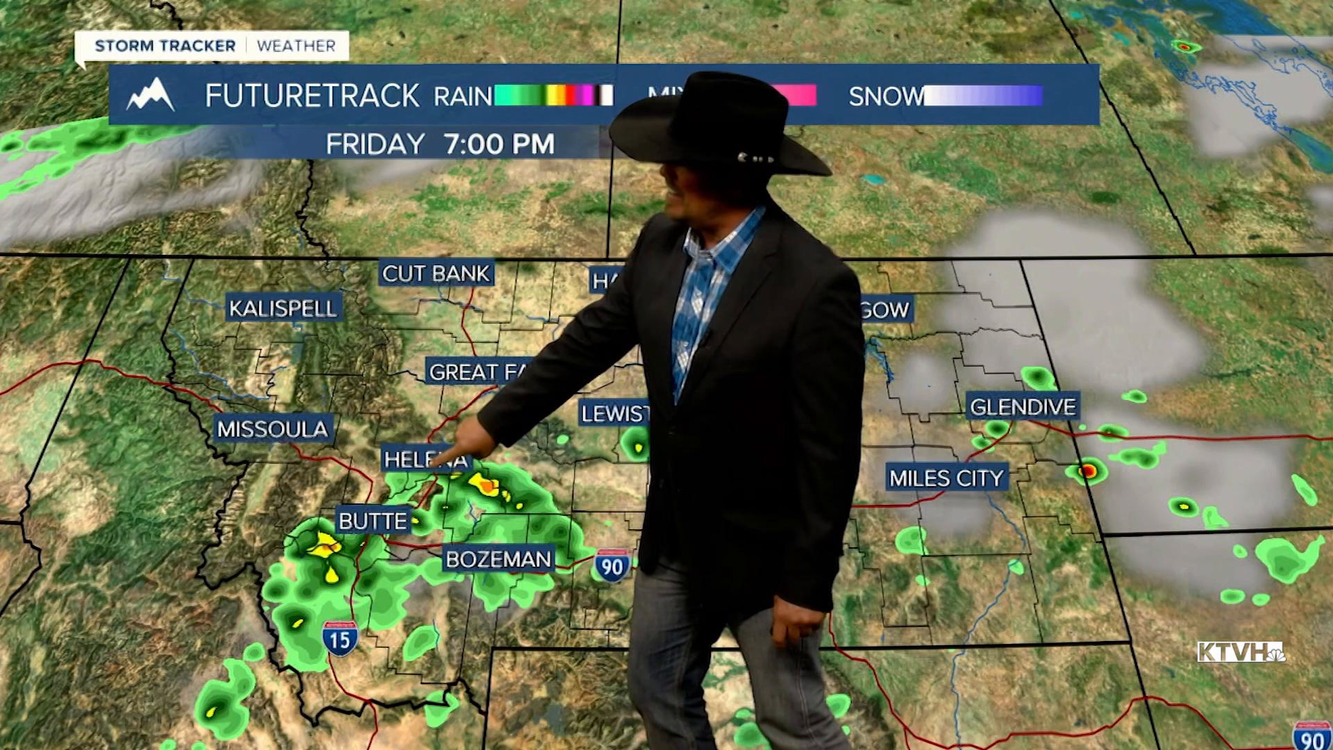


TGIF! This entire week temperatures have been below average but things are going to heat up on Friday with a few thunderstorms making a return. Friday will be mostly sunny, hot and breezy with isolated afternoon thunderstorms. Highs will top out in the 80s to the mid 90s. Afternoon wind will gust up to 35mph. The thunderstorms will be limited to the Helena area out through about Lewistown. Some gusty wind and heavy downpours are likely with the storms. This weekend the Last Chance Stampede and Fair as well as the State Fair and Red Ants Pants Festival are all going on. It will be warm but not as hot as it seems to always get for these events. Highs will be more in the 80s with scattered thunderstorms on Saturday and Sunday afternoons. Partly cloudy skies with scattered afternoon thunderstorms will continue with temperatures mainly in the 70s and 80s next week. July will end on an unusually wet and cool note.
Yeehaw!
Curtis Grevenitz
Chief Meteorologist
