A HIGH WIND WATCH has been issued for the Rocky Mountain Front and East Glacier Area for Sunday afternoon through Monday afternoon.
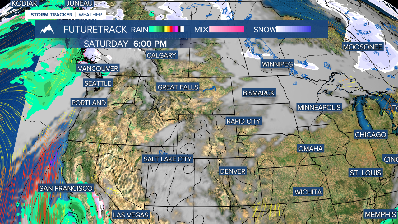
A weekend full of sunshine and mild-ish temperatures will precede a stretch of colder and snowier weather next week. Beside wind in a few areas, it's been absolutely beautiful for February with mild temperatures and abundant sunshine. These conditions will continue for the next several days through the weekend. Enjoy this stretch of quiet weather because next week winter returns in a harsh way. This weekend looks quiet with just a few isolated mountain snow showers, partly cloudy to mostly sunny skies and seasonable temperatures in the 30s and 40s. A cold front will slice across the state on Monday with wind and a few snow showers and snow squalls. Temperatures will begin to drop and the rest of the week will be significantly cooler. Valentine's Day there will be a shot of more significant snow and cold with the possibility of several inches accumulating with highs in the 10s and 20s. Some snow showers will linger on Wednesday and Thursday with highs in the 10s and 20s, lows in the -0s and 0s. Temperatures will moderate some into the start of Presidents' Day Weekend but a new storm could bring snow, wind and colder temperatures by Sunday into Monday.
Have a great weekend.
Curtis Grevenitz
Chief Meteorologist


