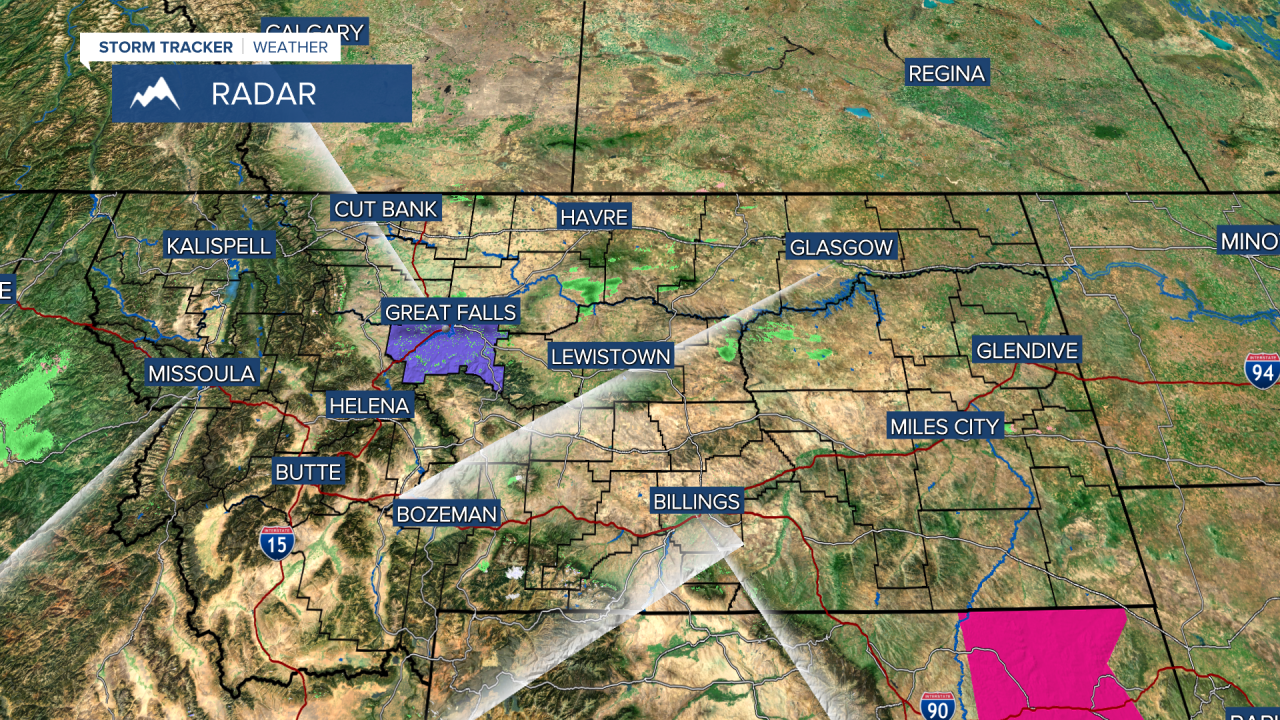
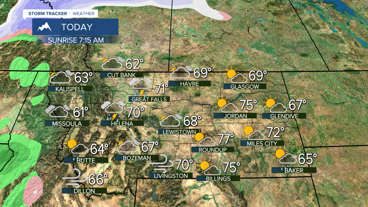
Though no record high temperatures were broken yesterday, a few areas in Montana reached the mid 70s. Today west-central Montana should see temperatures hovering around 70 once again, but once we reach the evening hours things will begin to change. Throughout Monday, atmospheric instability will increase, leading to the potential for thunderstorm development over a large area of Montana. The amount of rainfall should increase throughout the overnight hours. The above-average temperatures last week were thanks to a large ridge that settled directly over the Pacific Northwest. As we move through the evening hours that ridge will begin to break down, allowing a cold front to make it's way into the state on Tuesday. Around the time that Daybreak comes on the air Tuesday most of the showers should be shifted to snow throughout north-central Montana. Most of the moisture should be gone by the afternoon hours Tuesday, followed by a mild, dry, partly cloudy Wednesday. Any snow that occurs in the lower valleys will be brief and light with very little if any snow accumulations on grassy surfaces. The weather pattern will remain active as several weather systems will pass through the region. Temperatures or snow levels will hover around 3500-4500 feet through Friday and increase this weekend. Given the showery nature of the snow impacts will be minimal with only a few inches of snow at higher elevations through the weekend. Temperatures will be at or slightly below normal this week with valley temps in the lower to mid 50s.

MTN


Posted

