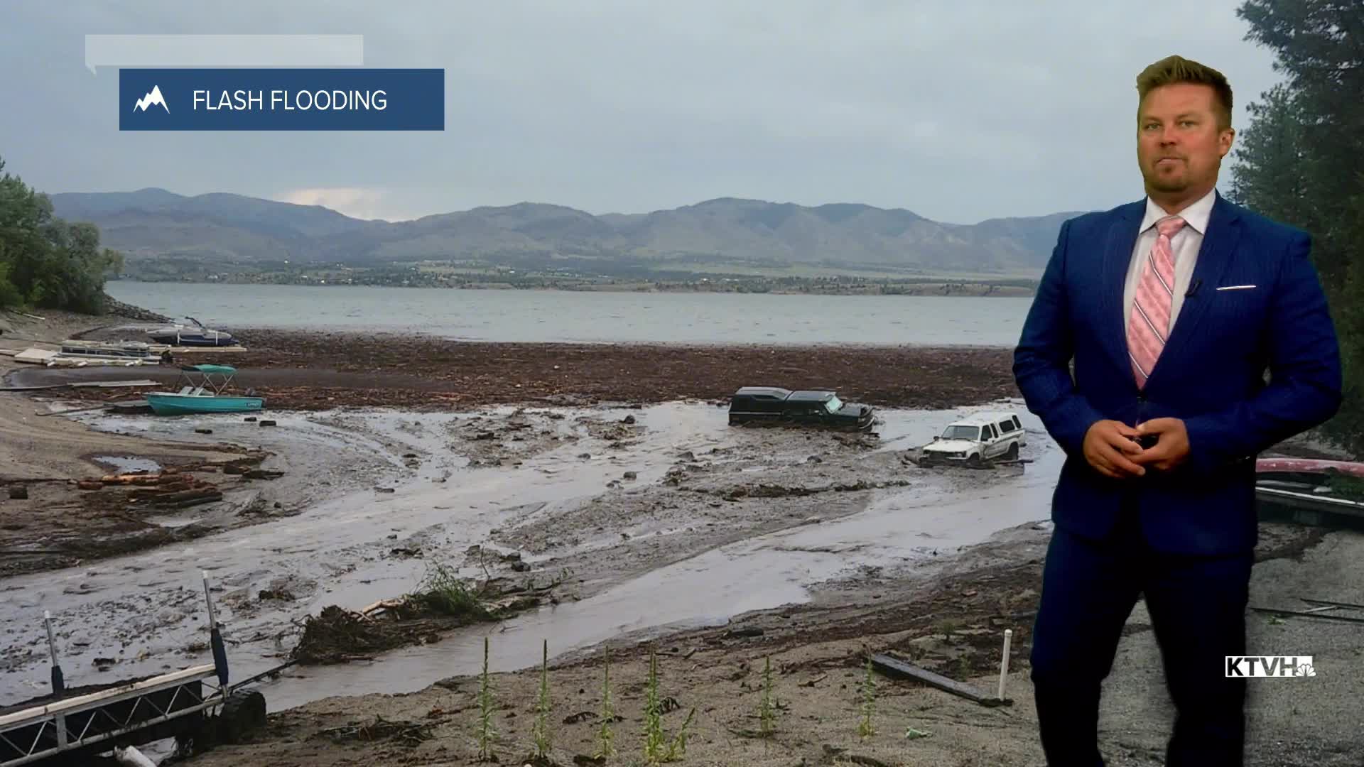


Wild, wet weather has hit Montana recently resulting in saturated ground. Thunderstorms producing heavy rain will continue this weekend and next week. An area of low pressure that produced the turbulent weather late in the workweek will continue to work across the state this weekend. Scattered showers and thunderstorms are likely across most of the state on Saturday. Some of the storms will produce hail and heavy rain capable of flooding. Highs will be cooler than average in the 70s and 80s. Sunday will be a drier day with just an isolated thunderstorm up on the Hi-Line and a few late evening thunderstorms that may come close to Helena and southwest Montana. Highs will be in the 80s and most of the state should enjoy a mostly dry day. Back to work Monday and back to a stormy pattern as another system will bring powerful thunderstorms back to the state. Hail, heavy rain and strong wind could accompany the thunderstorms on Monday afternoon and evening. Some storms will continue into the night. Flooding will continue to be a possibility. Storms will move across eastern Montana on Tuesday. Wednesday should be a mainly dry day before thunderstorms increase on Thursday. A stronger front could bring cooler temperatures and widespread showers and rain to the state on Friday.
Have a great weekend!
Curtis Grevenitz
Chief Meteorologist
