

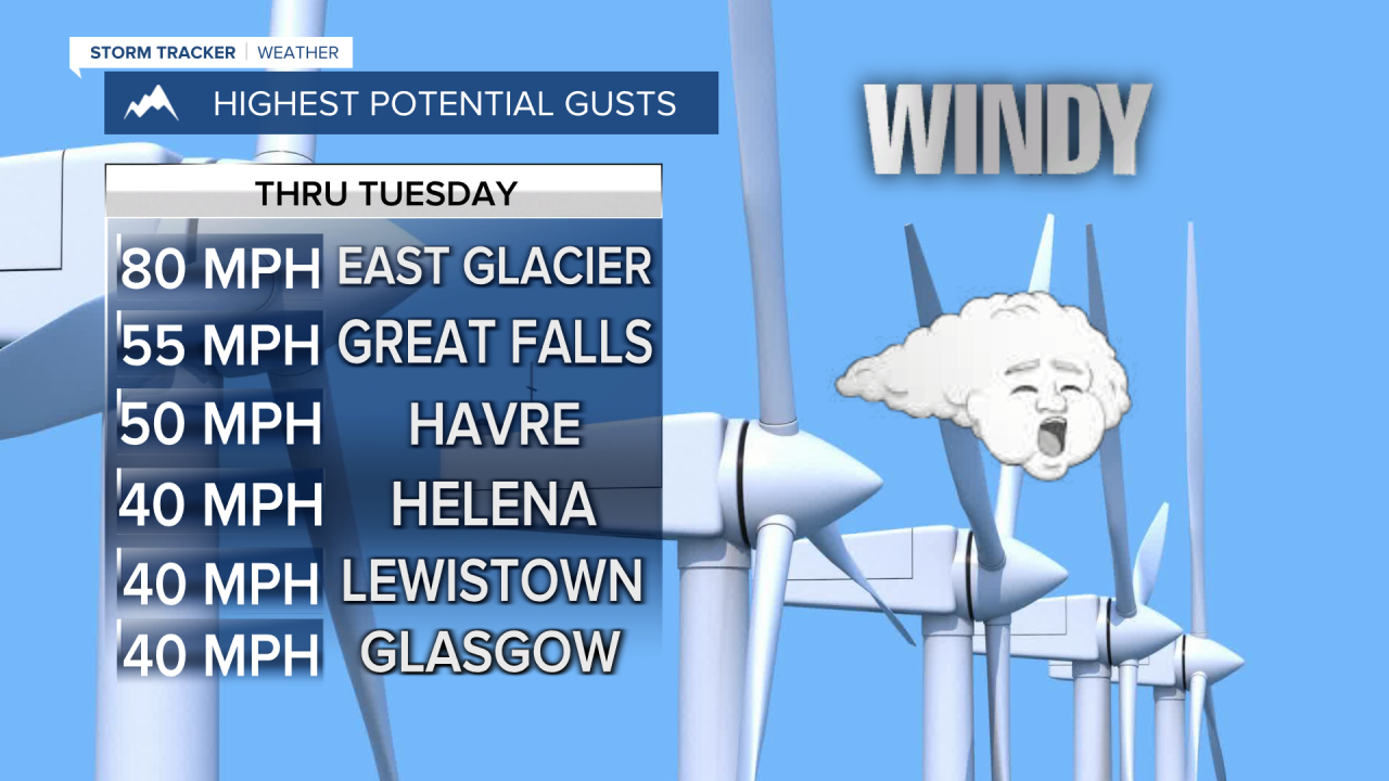


A HIGH WIND WARNING has been issued for the East Glacier area from midnight until noon Tuesday.
The wind will be ramping up again for most of Montana on Tuesday, with a HIGH WIND WARNING issued for the East Glacier area as gusts could approach 80mph. Elsewhere across the plains, including Great Falls, wind gusts could top 50mph. A front from the Pacific will approach the state through Tuesday, increasing the wind. However, some of the valley locations like Helena will have little to no wind as a minor inversion develops. Partly to mostly cloudy skies will prevail across Montana. Highs will range from the 60s to the low 70s. Wednesday, a cold front will move through the state with decreasing wind behind the front. Skies will become partly cloudy, and highs will be a little cooler in the 50s and 60s. Thursday, the first day of October, will turn mostly cloudy again, and there could be a very isolated rain shower. Highs will be in the 50s and 60s. Friday will turn partly cloudy with a very isolated rain shower again. Most areas will be dry both days. The first weekend of October is looking very nice with plentiful sunshine and temperatures close to average. Highs will be in the 60s and 70s with light wind.
Have a great day!
Curtis Grevenitz
Chief Meteorologist
