


A HIGH WIND WATCH has been issued for parts of the Hi-Line from Wednesday evening through Thursday.
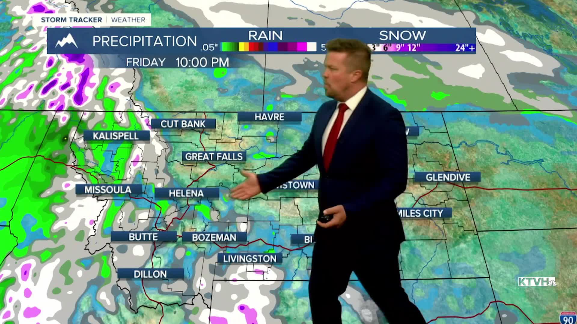
On this Election Day 2025, the weather was very typical for early November with clouds, cool temperatures, areas of light rain and snow, and a gray/gloomy feel. Light, spotty rain and snow will move across Montana at times the next few days but overall the weather will not be extreme or severe. Wednesday will begin on the cloudier side with a quick shower of light rain early in the morning. Some places along the Rocky Mountain Front and across the north-central part of the state could see a period of freezing rain, so watch for some slippery spots early on. Most of the day will be dry with mostly cloudy to partly cloudy skies. Highs will warm into the 50s. Another front will move through Wednesday evening into Thursday. Behind this front, the wind will be stronger with gusts topping 40mph. A few snow showers will dot the mountains. Highs will be in the 40s and 50s. Another front will come across the state on Friday with showers and a burst of mountain snow. Highs will top out in the 40s and 50s. Wind gusts will increase through the afternoon and evening, possibly gusting higher than 40mph. Slightly colder air will move into the state on Saturday with highs in the 40s to near 50. It will be breezy and cool. Sunday will be very sunny with temperatures getting a little warmer by afternoon. Both weekend days will have more sun than clouds. Mild, quiet weather will continue into early next week.
Have a great day,
Curtis Grevenitz
Chief Meteorologist
