

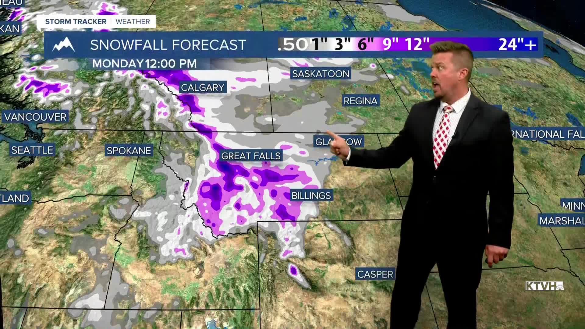


The warm before the storm? This workweek will be warm, sunny and dry with some late season fire danger. However, this weekend will turn stormy with the potential of significant snow, moisture, and much colder air. It's October in Montana! High pressure will keep Montana and most of the West in a warm and dry pattern this week. Temperatures will be above average, and with a little wind, there's a late season increase in fire danger. There are also numerous prescribed burns planned by the National Forest Service through this week. Tuesday will be mostly sunny, dry and windy with highs in the 70s and 80s. Wednesday will be slightly cooler with less wind, but still dry and sunny. Highs will be in the 60s and 70s. Thursday will be mostly sunny with light wind and highs in the 70s. Friday will start to turn partly cloudy with an increase in the wind out of the southwest. Highs will top out in the 70s and 80s. This weekend, some big changes are looking more and more likely. A strong cold front will move south through Montana on Saturday. Temperatures will tumble, and some light rain will mix with and turn to snow. Saturday will start out with temperatures in the 40s and 50s, but most areas will experience falling temperatures and snow levels through the afternoon. Areas of snow could become widespread through Saturday night into Sunday. Sunday looks cold and snowy for a good part of Montana. Some of the lower elevations may have a rain/snow mix, and some of the eastern plains could have just a cold rain. Snow, rain and significant moisture could continue into Monday. There is potential for significant accumulation in the mountains, and accumulating snow of several inches in the lower elevations. Stay tuned for updates as we get closer to this storm.
Have a great day,
Curtis Grevenitz
Chief Meteorologist
