

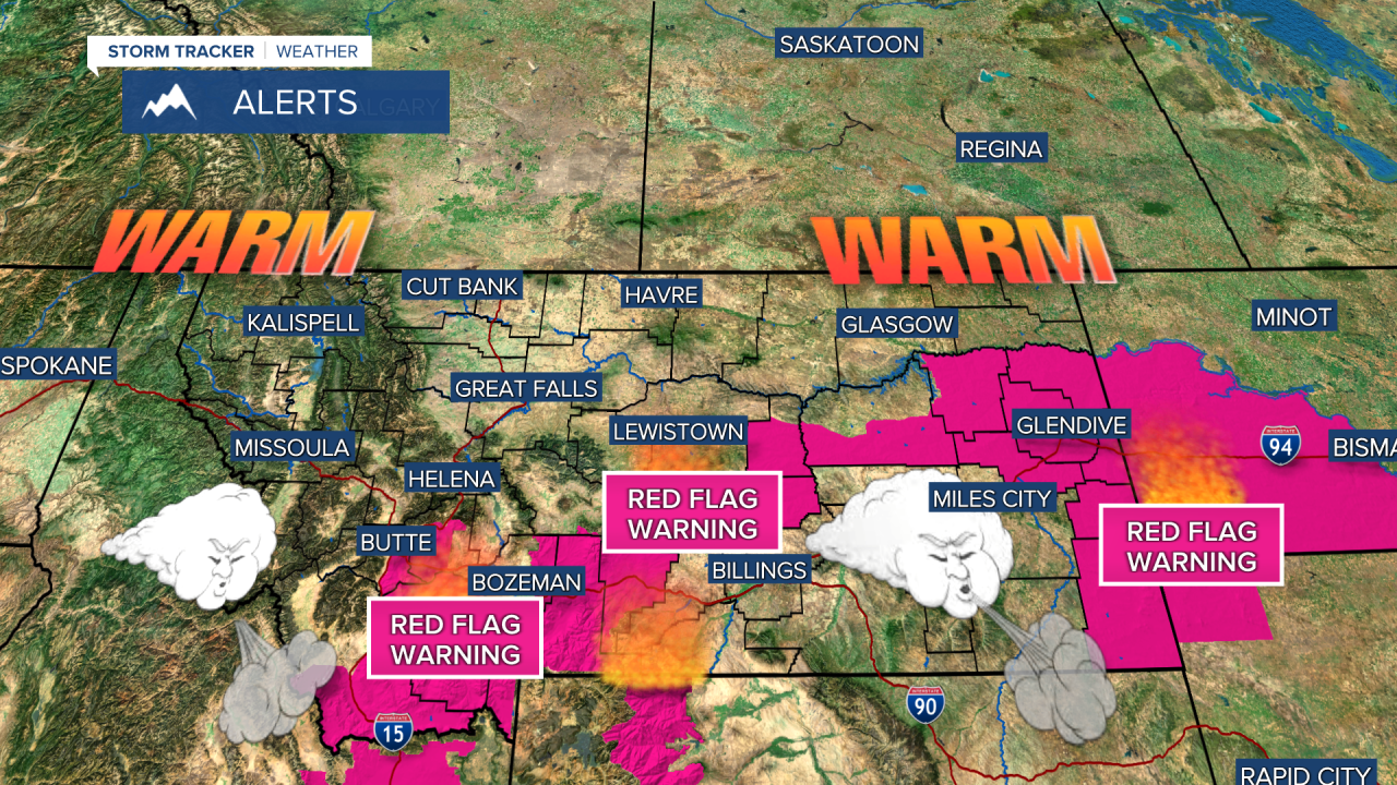


A RED FLAG WARNING has been issued for parts of central and southern Montana through Thursday afternoon.
Warmer, windy weather will sweep across Montana on Thursday, creating RED FLAG WARNING conditions for central and southern areas in the state. Southern Montana did not see as much rain from this last storm system, so everything is drier there. Thursday will start out sunny but clouds will increase through the afternoon. Highs will be in the 70s and low 80s with a strong southwest wind. Some gusts could top 40mph. Thursday night, a front will move out of Canada and into Montana with areas of rain. Friday will start out mostly cloudy with showers, but skies will become partly cloudy by the afternoon. It will be cooler with highs in the 50s and 60s. This coming weekend looks wet again. Saturday will be on the cloudier side with just a few isolated showers. It will be cool with highs in the 50s to around 60. Sunday, a new storm system will move in with widespread rain in the lower elevations. This storm will have much colder air, and highs will only reach the 40s and 50s. Snow levels will drop. Right now snow could accumulate down below 5500' in some areas. This coming weekend is officially the final weekend of summer. Autumn officially begins at 6:05pm on Tuesday.
Have a great day,
Curtis Grevenitz
Chief Meteorologist
