

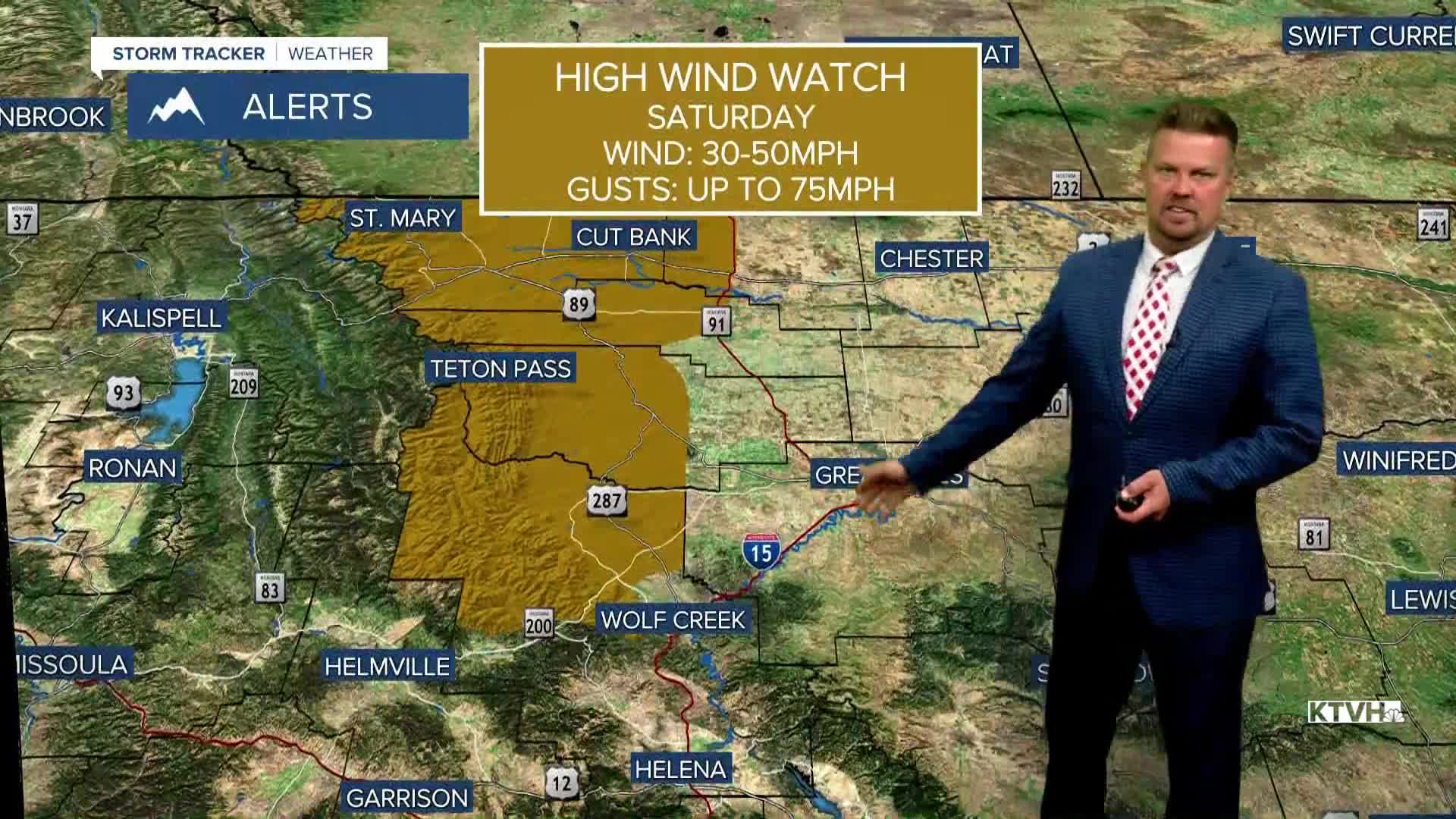


A HIGH WIND WATCH has been issued for the East Glacier area for Saturday.
It's going to be a very different weekend than last weekend. Sunshine will be plentiful, the temperatures will be about twice as warm as last weekend, but the wind will be quite strong at times for some areas. No snow is in the forecast, and it may not be until the end of next week that another storm system moves through Montana. Until then, sunshine and warm temperatures will prevail. Friday, a warm chinook wind will develop and any lingering snow should melt as temperatures warm into the 60s to near 70. This coming weekend will be very different than last as temperatures warm into the 60s and 70s with a strong wind across the plains, Continental Divide and off the Rocky Mountain Front on Saturday. A dry cold front will move through the state on Saturday night. Slightly cooler air will follow the front on Sunday, but the wind will be much lighter. Sunday will be mostly sunny with highs in the 50s and 60s. Warm, dry and mostly sunny weather will continue Monday and Tuesday. Some clouds will increase Wednesday, but it's dry until Thursday and Friday when the next storm will hit Big Sky Country.
Have a great day!
Curtis Grevenitz
Chief Meteorologist
