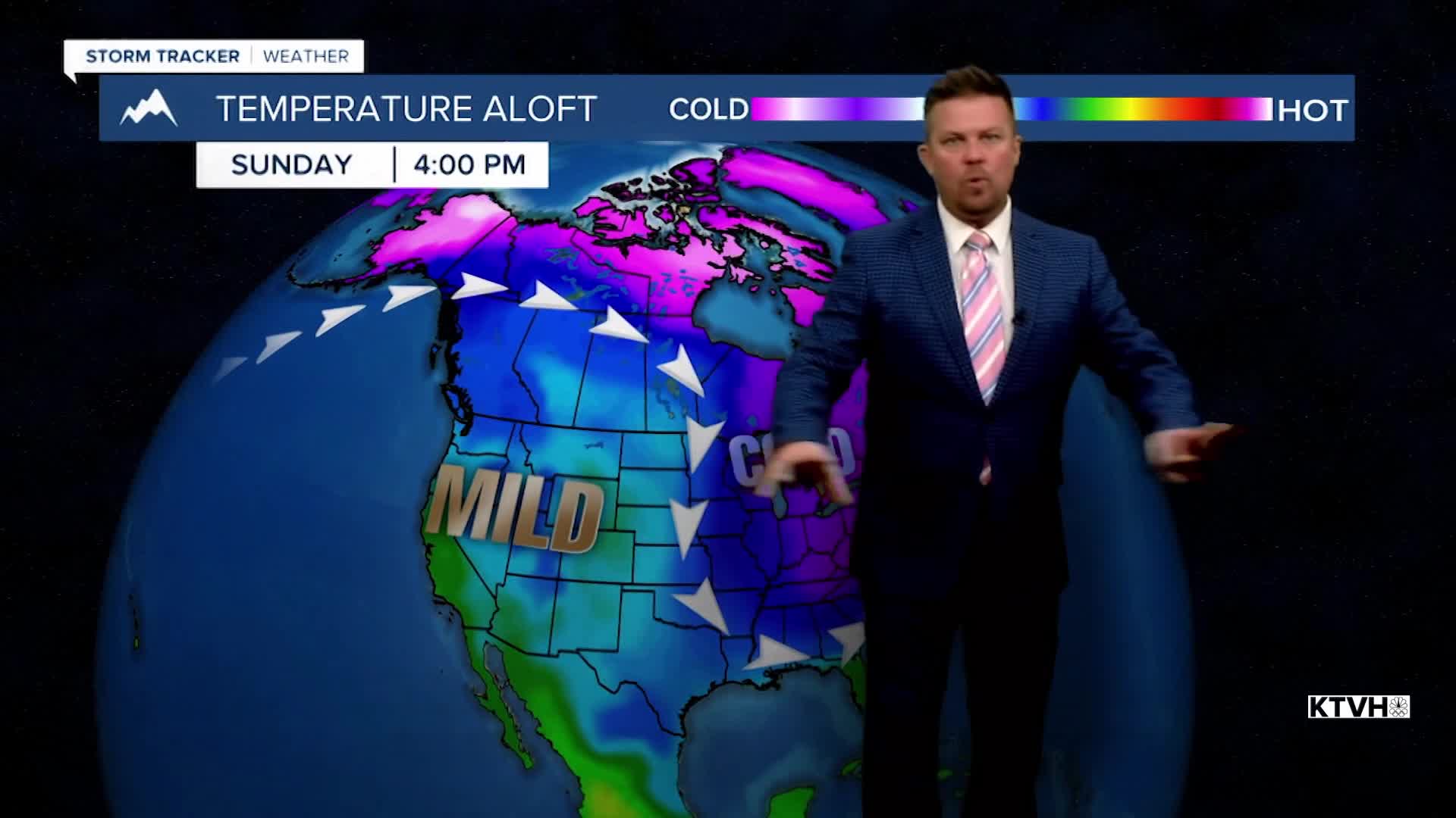


After a brief drop in temperatures with some snow, another push of mild weather will work across Montana and the West this weekend. Most of North America will fall back into the pattern that has persisted for the last month or so where the eastern part is cold and snowy, and the western part is milder and dry. As some of that warmer air moves back in, the mountains will continue to add to the snowpack through Friday. iday will be mostly cloudy with strong wind across the plains. There will be snow on the Continental Divide, the Rocky Mountain Front, the Big Belt and the Little Belt Mountains. Up to another couple inches is possible. Highs will be in the 20s and 30s, with a few spots in the plains hitting the low 40s. This weekend will be partly to mostly cloudy with temperatures again turning milder. Highs will reach the 40s and 50s across some of the plains, 30s to around 40 in the valleys, and 20s and 30s in the mountains. The wind will be strong over the Continental Divide and the plains. High pressure will mean mild weather through midweek. Late next week the temperatures will drop along with a chance at snow.
Have a nice day,
Curtis Grevenitz
Chief Meteorologist
