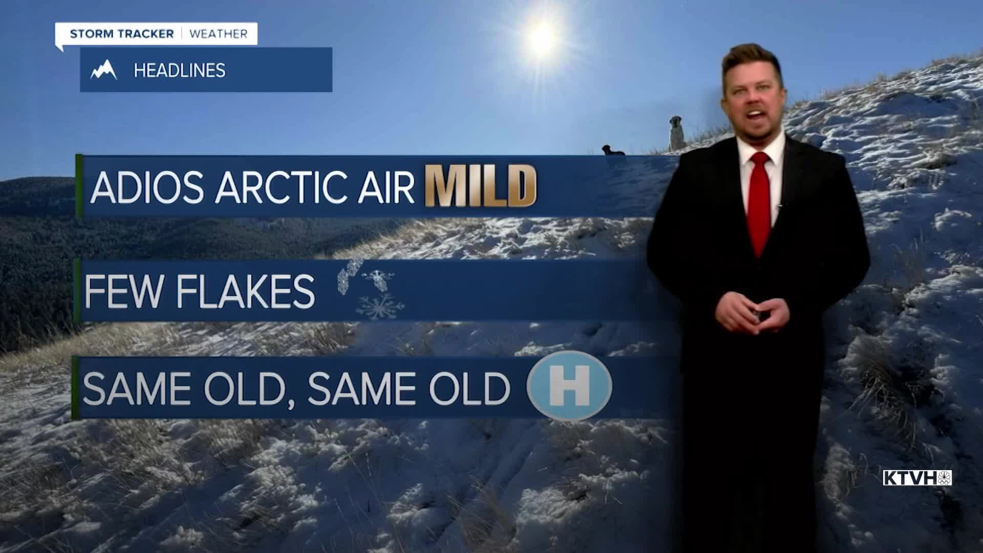


Winter showed up in Montana over the last several days but already it's showing signs of leaving again as warmer temperatures move in. It's back to the pattern that has dominated most of the West this winter with a ridge of high pressure creating mild and dry conditions. A few mountain snow showers are possible into Tuesday morning, and then again Wednesday, and possibly Friday night. However, accumulation in the mountains will be minimal and most of the state will continue its snow drought. Some cold air will hang tough in far northeast Montana, but most of the state is warming up. Tuesday will be cold with highs in the 10s across northeast Montana, but the rest of the state will be in the 30s and 40s under mostly sunny skies. Wednesday will be mostly cloudy as a weak low pressure moves through the state. There will be snow showers in the mountains and a few sprinkles and/or flurries in the lower elevations. Up to a couple inches of snow is possible in the mountains. Highs will be in the 30s and 40s. Thursday will be partly cloudy with highs in the 30s and 40s, still a few 10s and 20s closer to the North Dakota border. Clouds will increase on Friday with a few mountain snow showers into Saturday morning. Saturday will turn partly cloudy, windy and mild with highs in the 40s and 50s. This pattern will likely continue through the first week of February. There's a lot of winter left but time is running out.
Have a great day,
Curtis Grevenitz
Chief Meteorologist
