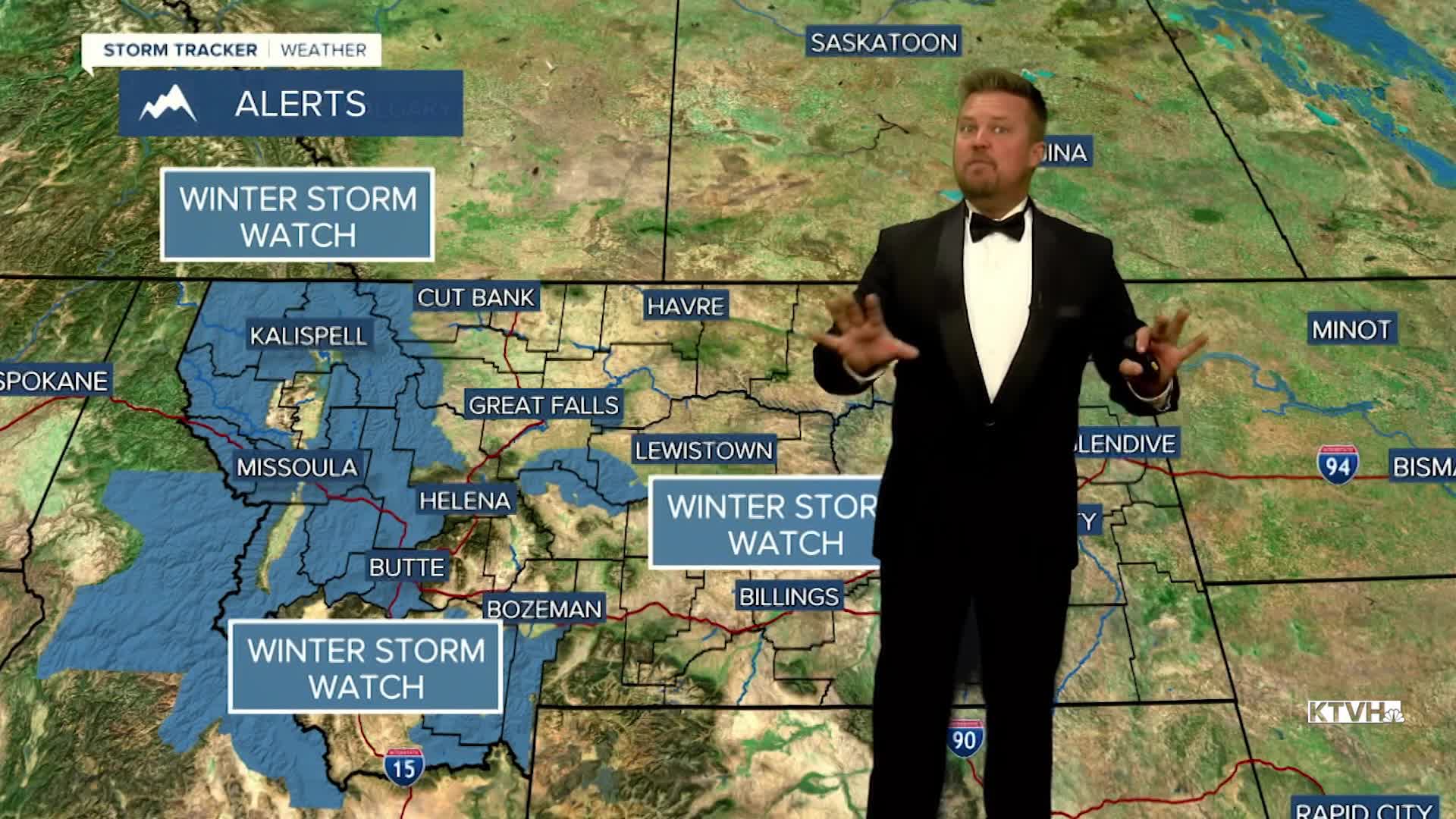


A WINTER STORM WATCH has been issued for the higher elevations of central and western Montana from Saturday night into Monday morning.
After a sunny and warm workweek, a storm moves in just in time for the weekend with rain, wind, falling temperatures and falling snow levels. A large storm off the Pacific Coast will start to move into the West on Friday, but really arrive in Montana this weekend. Friday will be a lovely day with just a few more clouds and an isolated shower across far western and southern Montana. Most of the state will be mostly sunny and dry with warmer highs in the 70s. A cold front will move across Montana on Saturday. Showers and thunderstorms will increase through the day. The wind will pick up and the temperatures will fall. Highs will top out in the 60s and 70s, but fall into the 50s later in the day. Snow levels in the mountains will start to fall Saturday night into Sunday morning. Some heavy rain will move across central and eastern Montana through Saturday night into Sunday. Sunday will be cloudy and cool with some light snow in the mountains and a little light rain/snow mix in the lower elevations. Highs will be much cooler in the 30s and 40s in the lower elevations. Monday will be a chilly day with highs in the 30s and 40s under mostly cloudy skies. A little light snow could fall along the Rocky Mountain Front and in the mountains. Snow will likely stick on the road surfaces in the higher elevations, so if you have to travel over the mountain passes on Sunday and Monday, be prepared for slippery conditions. Some light snow accumulation is possible in the lower elevations as well. Enjoy Friday's sunshine while we have it!
Have a great day,
Curtis Grevenitz
Chief Meteorologist
