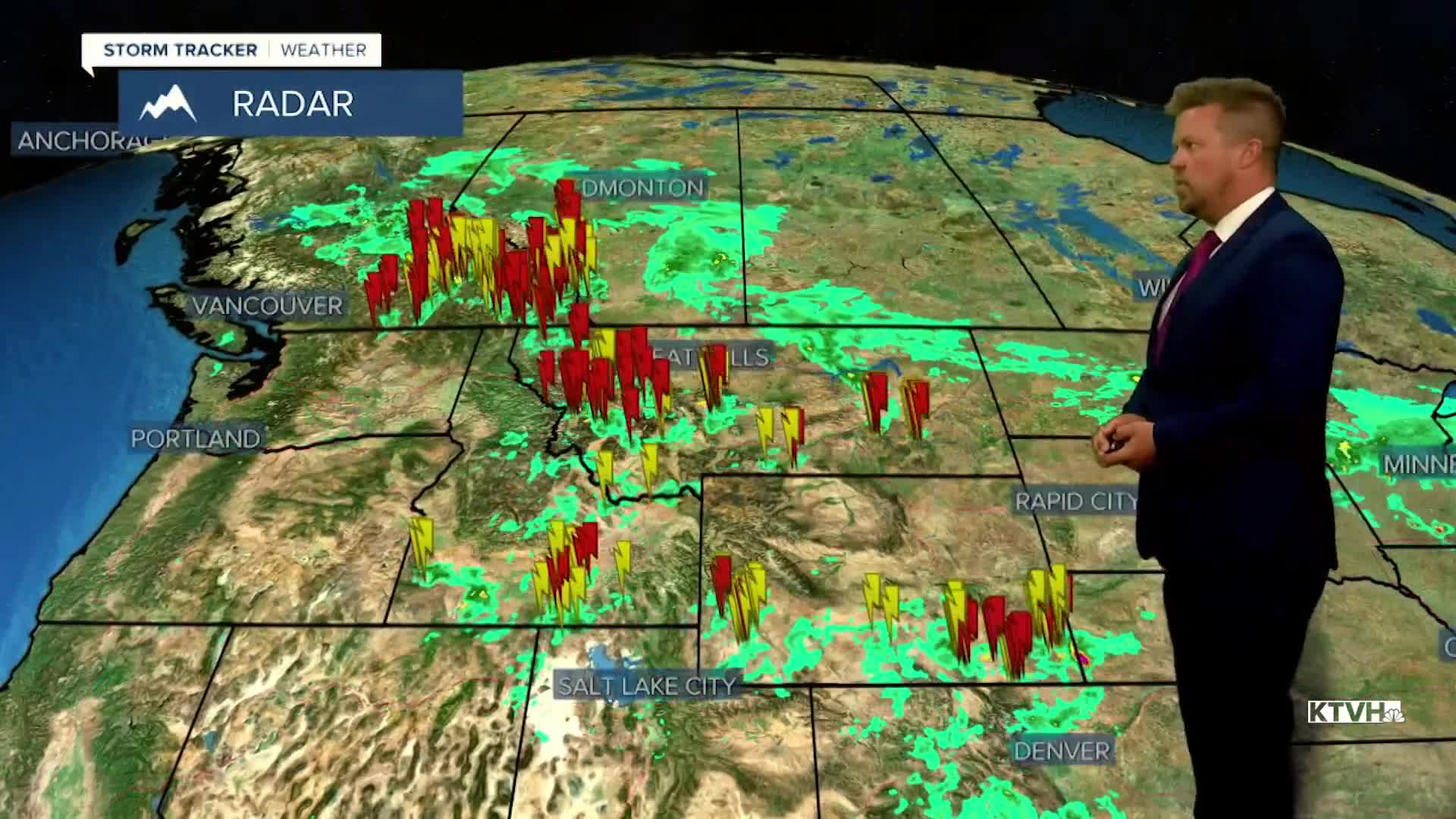


Much of Montana had solid rainfall with the thunderstorms over the last day, and more thunderstorms will douse the state over the next several days. While much of northern and eastern Montana had a solid, gentle rain recently, the threat for severe thunderstorms will increase. Friday will be a busy day with strong to severe thunderstorms capable of producing hail greater than 1" in diameter, wind up over 60mph, and there may even be an isolated tornado in central and eastern Montana. Friday will be partly to mostly cloudy with scattered thunderstorms in the afternoon and evening, highs will reach the 70s. Keep an eye to the sky if you are outside. The thunderstorm threat will continue this weekend with isolated to scattered storms possible both Saturday and Sunday. Highs will top out in the 70s and low 80s. This stormy pattern will produce moisture up in Canada as well, which is good news for the wildfire and smoke situation. Significant rain is likely across Canada and Montana over the next 10 days with many areas seeing 1-3" total from all of the thunderstorm activity.
Have a great day,
Curtis Grevenitz
Chief Meteorologist
