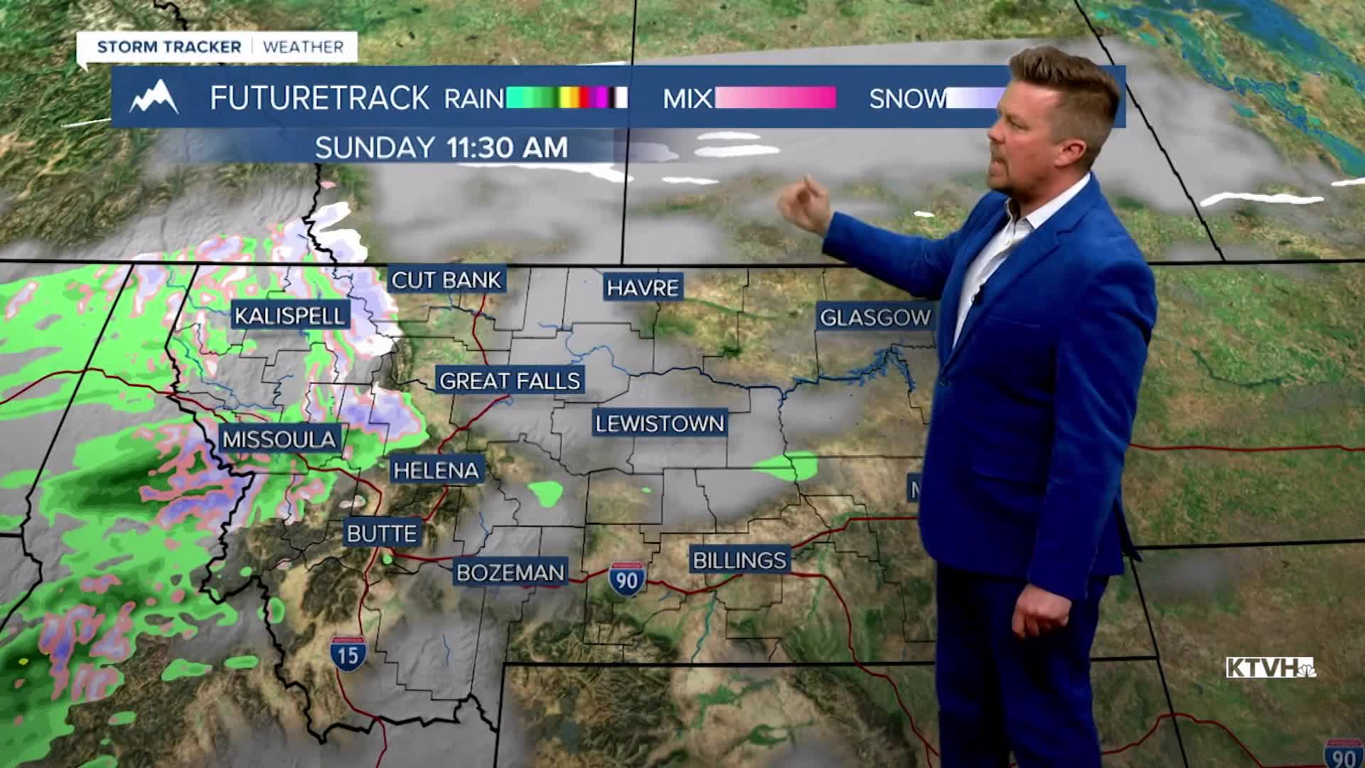


After a pretty pleasant and warm start to the weekend, the weather will take a turn for the end of March into April with colder temperatures and the possibility of snow. Two atmospheric rivers will bring moisture to the state. The first will arrive late Sunday and continue into Monday. Colder air will work into this atmospheric river on Sunday night with lowering snow levels. A decent amount of moisture will accompany this front, and snow levels will drop to some valleys and plains by Monday morning. Don't expect much snow in the lower elevations, with several inches in the mountains. Tuesday will be dry and cool, with high pressure over the state. The next atmospheric river starts heading back into Montana later on Wednesday. Precipitation will increase with lower elevation rain and mountain snow developing later in the day. Colder air will work into this system into Thursday, lowering snow levels again. The mountains will pick up several inches, with a few inches possible in the lower elevations. Snow showers will continue through Friday, with cold enough temperatures for snow down to the valley floors and plains. Wet and snowy weather will spread throughout much of the West next week. While this snow will not make up for lost snowpack, the moisture certainly is needed at a time when moisture usually does fall.
Have a great weekend!
Curtis Grevenitz
Chief Meteorologis
