

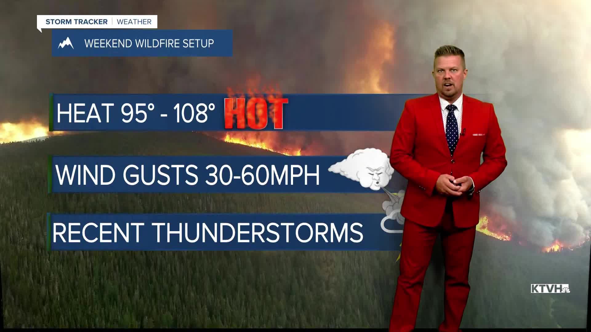


A FIRE WEATHER WATCH has been issued for most of central and western Montana for Saturday and Sunday for dangerous wildfire conditions.
AN EXTREME HEAT WATCH has been issued for most of central and eastern Montana for Saturday.
A HIGH WIND WATCH has been issued for the East Glacier area for Saturday evening into Sunday morning.
All the ingredients are coming together for a very dangerous wildfire situation across Montana for the first weekend of August. Montana's wildfires are increasing and growing. The weather this weekend with the wind and heat will likely cause of some of these fires to get out of control. Please do everything you can to not start fires, and be safe. Friday will be a hot and smoky day. Highs will be in the 90s to near 100 with a northwest wind only up to 15mph. Saturday will be a hot, smoky and windy day with extremely high fire danger. Some gusts could top 40mph and highs will be in the 90s and low 100s. The strongest wind will be in the East Glacier area with some gusts approaching 75mph. A fire could really take off in these conditions. The wind and heat will precede a cold front that will move through Montana on Sunday. This front will bring more gusty wind to the state on Sunday, but temperatures will begin to cool. Highs will top out in the 80s and 90s. Some of northwest Montana including the Cut Bank area could have highs only in the 70s. Sunday night will be a cool night with many places dropping into the 40s. Monday will be mostly sunny and much cooler with highs in the 60s and 70s. Monday night's lows in the upper 30s to mid 40s will be down near record lows. Unfortunately the air quality may not improve much as the wildfires in Washington, Oregon, Idaho and British Columbia will not see significant precipitation. However, the change in wind this weekend may blow some of the smoke out of the picture for a few days. After this hot, windy, fiery weekend, the weather seems to mellow out a bit through the middle of August. Not to say that there aren't more hot, dangerous days, but getting past this weekend will be getting over a hump.
Have a great day,
Curtis Grevenitz
Chief Meteorologist
