


A FIRE WEATHER WATCH has been issued for southwest Montana for Wednesday afternoon and evening.
A LAKE WIND ADVISORY continues for Fort Peck Reservoir.
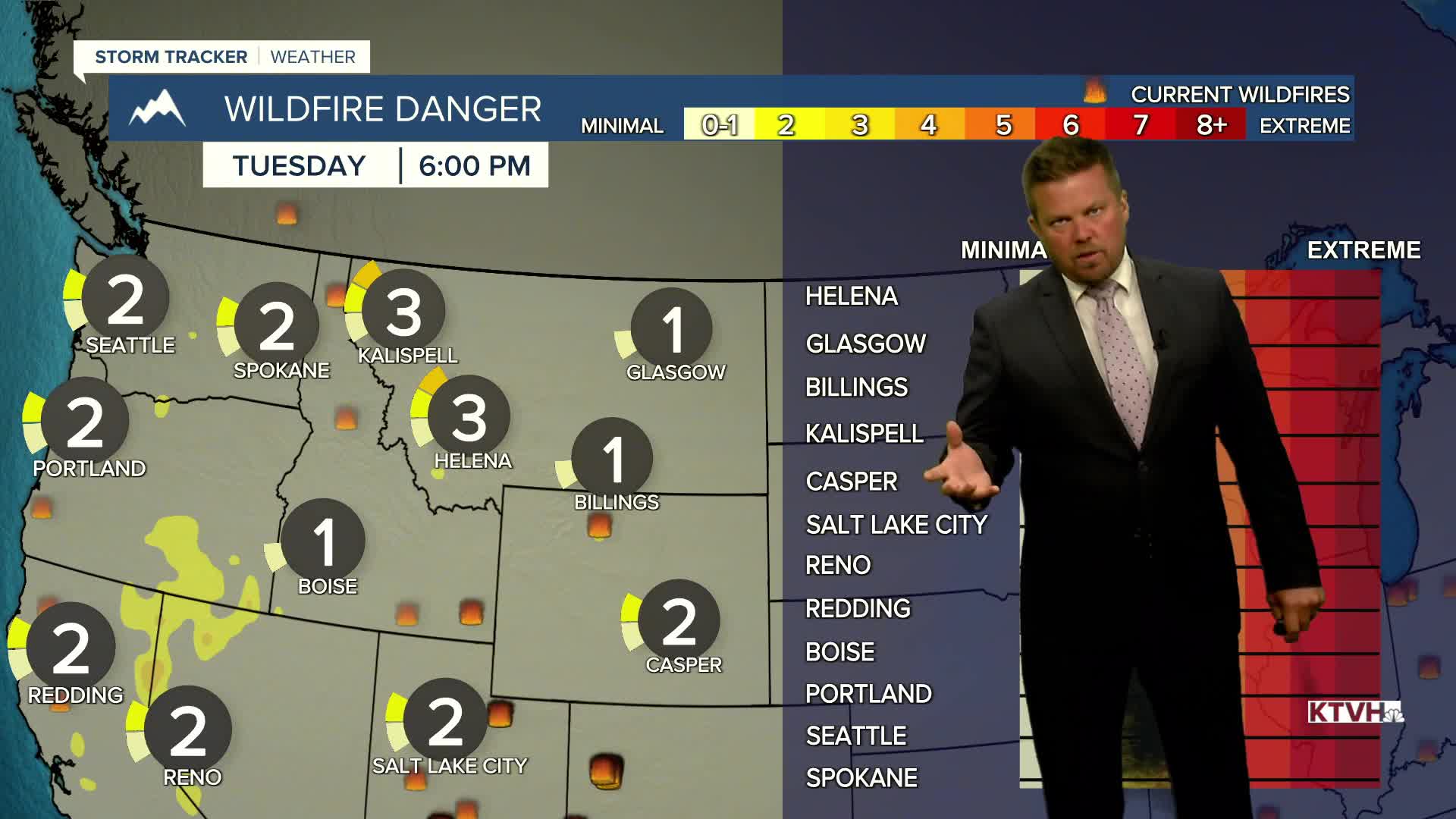
While most of this summer has been on the wetter and cooler side, this week will be a bit hotter with stronger wind that will increase the fire danger. There have been numerous wildfires this summer but the cooler temperatures and above average precipitation have helped firefighters limit the spread of most blazes. While temperatures will get hotter with that wind picking up, it won't last long. Another cooldown is coming on Thursday. Tuesday will be a mostly sunny day with highs in the upper 80s to low 90s. These numbers will only be a few degrees above normal for a change. The wind will increase up to 20mph off the Continental Divide. Wednesday will be one of the higher fire danger days we've seen in a while. Most areas will heat up into the 90s for highs with wind gusting higher than 30mph. Humidity will also drop to single digit values for some areas in the state. Please use caution in not starting a wildfire. But just like most of this summer, after a couple of hot days a cooldown moves through most of these state. A cold front will push across Montana on Thursday with temperatures dropping back into the 70s and 80s, back below normal. This front does not appear to have a lot of moisture with it, so do not expect much if any thunderstorms. Friday will be a partly cloudy, breezy and warm day with highs in the 80s. This weekend a few thunderstorms will pop both Saturday and Sunday afternoons. Highs will be close to average in the 80s.
Have a great day,
Curtis Grevenitz
Chief Meteorologist
