A BLIZZARD WARNING is in effect for the East Glacier area through Saturday afternoon.
A WINTER STORM WARNING is in effect for the Rocky Mountain Front through Saturday afternoon.
A WINTER WEATHER ADVISORY is in effect for parts of central Montana through Saturday afternoon.
A WIND CHILL ADVISORY is in effect for the Hi-Line until Saturday afternoon.
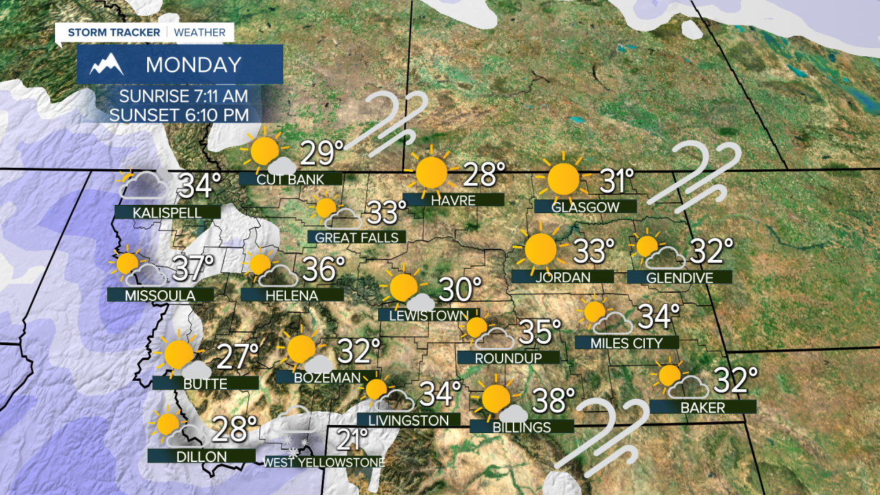
The weekend will be much warmer than recent arctic air but it comes with a price. Strong, chinook winds have developed and will create blowing and drifting snow. Blizzard conditions are possible especially around the East Glacier area and along the Rocky Mountain Front. The mountain passes over the Continental Divide and areas of central Montana will have blowing snow as well. Travel will be difficult, and it is not recommended around the East Glacier area. The blowing snow will reduce visibility and reduce the size of the driving lanes on some highways. Although the wind will be quite problematic, it is a warmer wind. A true chinook wind will push temperatures up into the 30s and 40s for highs this weekend. Another positive will be mostly sunny skies during the day. With clear skies, make sure to check out Venus, Jupiter and the Moon in the western sky in the early evening hours. Some snow showers are likely to return Sunday evening with a cold front, but most accumulation should be limited to the mountains. There is a good chance of light snow for Montana next Tuesday into Wednesday. Temperatures will generally stay below average into the beginning of March with more opportunity for snow.
Have a great weekend!
Curtis Grevenitz
Chief Meteorologist


