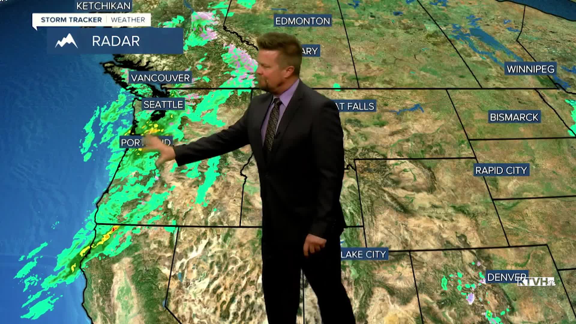


Some significant weather changes will happen this weekend with less sun, cooler temps, stronger wind, and some rain and snow showers. A large storm coming in from the Pacific will deliver increasing clouds, scattered showers of rain and snow, with a powerful wind. This weekend is the opening of general hunting season in Montana, and those heading into the mountains should prepare for chilly weather with stronger wind especially on Sunday. Saturday's front will bring more wind and showers closer to the Continental Divide later in the day. Highs will reach the 50s to around 60, wind could gust higher than 40mph. A period of rain, mountain snow and wind will move through late Saturday evening into Sunday morning. Some snow showers will continue into Sunday morning, especially in the mountains. Sunday will be colder with highs in the 40s and 50s, cold enough for some snow in the mountains and a mix of rain and snow showers in the lower elevations. The lower elevations will have a fair amount of sun, but it will just be chilly and windy. Right now, any snow accumulation will be confined to the mountains. This does not appear to be a powerful storm, but anyone heading into the mountains this weekend should prepare for chilly and damp conditions. Cool, blustery weather will continue early next week but not major storms are on the horizon at this time. Although, strong wind should continue for most of next week especially across the plains and over the Continental Divide.
Have a great weekend,
Curtis Grevenitz
Chief Meteorologist
