


A HEAT ADVISORY has been issued for parts of central and northern Montana for Friday.
A RED FLAG WARNING has been issued for most of Montana for Friday.
An AIR QUALITY ALERT is in effect for the Flathead Valley and West Glacier Region down to Helena.
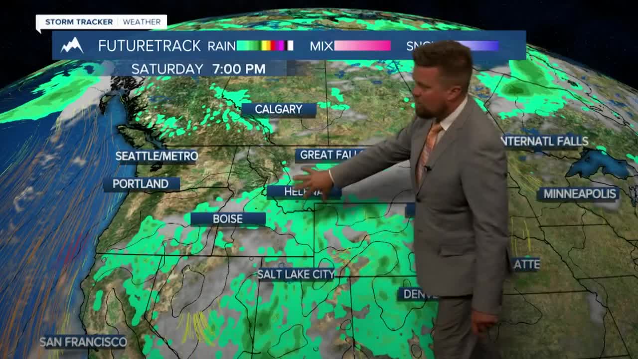
The worst wildfire danger of the year will likely occur on Friday before a cold front drops temperatures by more than 50 degrees and moisture moves in. Montana has been dealing with one of the hottest stretches of 2023 and Friday will be a hellacious day of heat, wind and thus extremely high fire danger. Temperatures will be in the 90s to low 100s with wind gusts up to around 45mph. Existing fires will grow and put out a lot of smoke resulting in bad air quality across most of Montana. Isolated thunderstorms along with partly cloudy skies will start to cool things off a little. Friday will be a dangerous, dangerous day. The wind will die down Friday night as a cold front moves through the state. Temperatures will drop into the 40s and 50s, a 50+ degree drop from Friday's highs to Saturday morning lows. Saturday will be partly cloudy with scattered afternoon and evening thunderstorms, highs will be back down in the 70s and 80s. Sunday and Monday will be mostly cloudy with areas of rain and thunderstorms. Highs will be more in the 60s and 70s. Rain will fall on the fires and it will clean up the air through the course of the weekend. Scattered storms under partly cloudy skies will continue Tuesday and Wednesday with highs in the 70s and 80s. Weather conditions will significantly improve after this fiery Friday.
Stay cool,
Curtis Grevenitz
Chief Meteorologist
