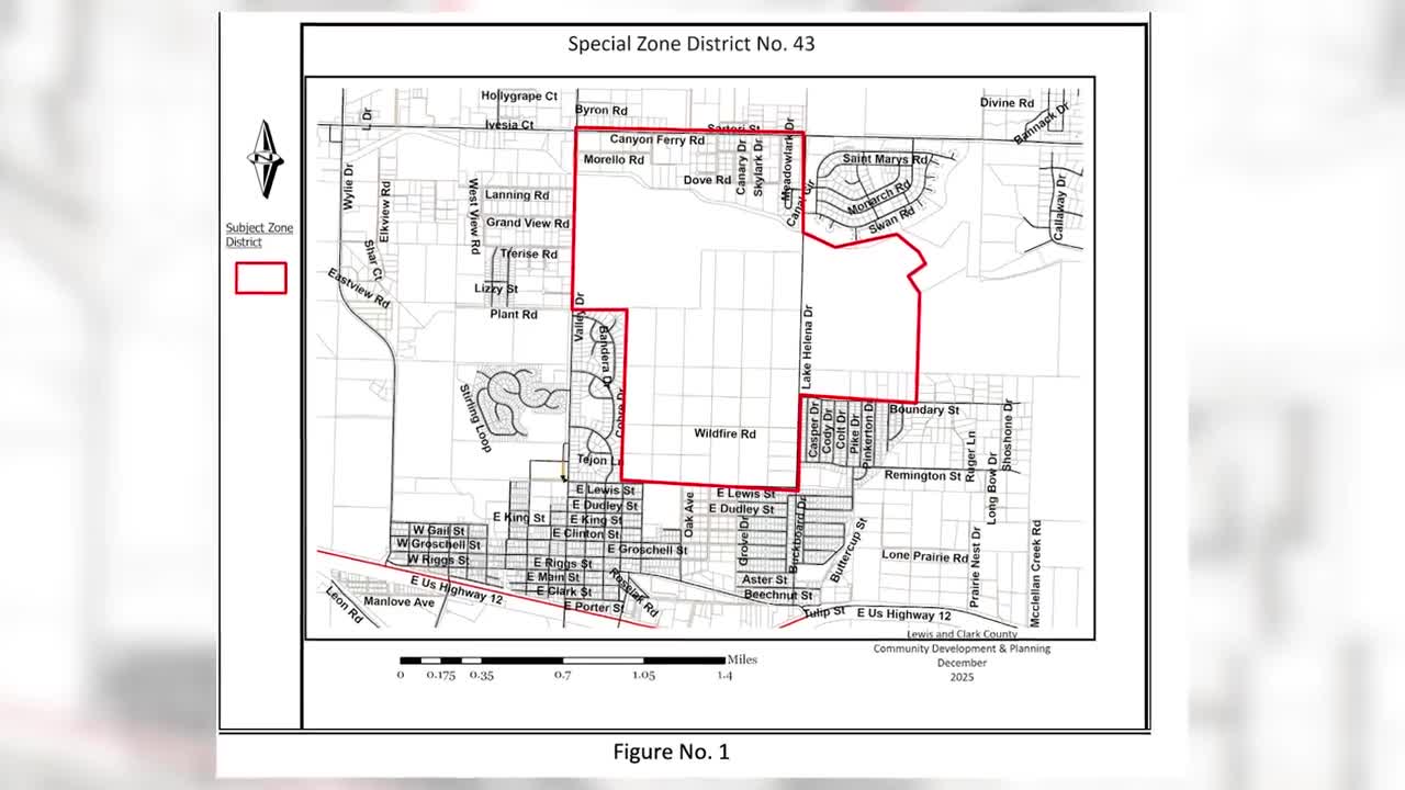


EAST HELENA — An area along Canyon Ferry Road, Valley Drive, and Lake Helena Drive, known as Special Zoning District 43, already includes a mix of uses—homes, agriculture, and some industrial activity, such as Helena Sand and Gravel. But county planners are proposing updates to the citizen-initiated district’s rules—changes they say are meant to bring zoning in line with today’s development needs, but something residents in the area are worried about.
“It really is a mess,” Nick Thennis, an area resident, said.
(WATCH: Special Zoning District 43 — Growth plans spark fears of expanding industry)
Under the proposal, one key change would allow certain non-conforming uses—properties that don’t meet current zoning rules—to expand, if they receive a conditional use permit.
Planning staff says, if approved, this change would modernize regulations and make them easier to administer. This is just the start of the county’s process, as SZD 43 is just one of 35 districts across Lewis and Clark County.

But residents say they worry it could lead to increased industrial activity creeping closer to homes like Thennis’, which already sits near the gravel pit.
”For us, it is one of those here-we-go-agains,” Thennis said.
This issue stretches back to 2008, when people came together to create the district to protect their land from a gravel operation in the area.
Jill Cohenour, a member of the Eastgate Village Water and Sewer Association and a democratic state representative, shared, “We put those restrictions that are being removed by this process, and those restrictions were put in place for the health and safety of the people living in those areas.”

Part of the challenge for both sides is the district’s complexity. County growth policy maps show the area includes three different land-use designations: rural residential and agricultural, community mixed-use, and commercial or industrial corridors. Each comes with different expectations for density, development, and impact.
That mix means homes, farms, and businesses often sit side by side—making zoning decisions especially sensitive.

Phil Gonzalez is a planner for Lewis and Clark County. He shared, “We are going systematically and methodically through each zoning district, looking where we can make improvements to the language and make sure that zoning documents are compliant with the county’s overall growth policy.”
Another proposed change would remove what are known as “special restrictions” from the district. That would simplify the rules, but it also raises questions about oversight.
Residents are concerned about standardizing language across different districts.
“This standardization of these districts would be like saying all of Montana’s roads need to be two-lane roads that are 55 miles per hour, you are not dealing with the characteristics of being near a school or a highway,” Cohenour shared in an analogy.
They worry about the other impacts, like water availability and property values, if more development moves into the valley.
Thennis noted, “Our biggest concern would be number one, the water and how that would affect—it is a mining operation, so you have to worry about whether it would be contaminated.”
A change in the zoning and resulting development could impact the Eastgate Village Water and Sewer Association’s public water and wastewater systems that provide water to more than 2,000 residents in Eastgate I and II subdivisions, according to the president of the association, Jean Riley.
County officials emphasize that any expansion of non-conforming uses would still require review through a conditional use permit process. That means projects would be evaluated individually, with conditions placed on approval to limit impact.

Still, the debate reflects a familiar tension across Montana: how to balance property rights, economic development, and the preservation of rural character.
