

Extreme heat and cold, rain, snow, wind, fires and more! 2025 kept Chief Meteorologist Curtis Grevenitz and Meteorologist Joey Bianconne very busy.
Starting in January, a winter storm brought us our most significant snowfall of the year. On the 5th and 6th, a combined 10.6 inches of snow fell at the airport.
February brought extreme cold to the area, dropping temperatures as low as 24 degrees below zero. The warmest temperature recorded this summer was 97 degrees on July 8th and 14th. This was the first summer since 2019 during which Helena did not reach the triple digits.
The difference between this year's maximum high and minimum low was 121 degrees, which surprisingly is the 2nd lowest swing in the last 5 years.
Just under 1 inch of rain was recorded on May 14th, making it the wettest day of the year. May 2025 was the 11th wettest May on record, and the wettest in the past 44 years.
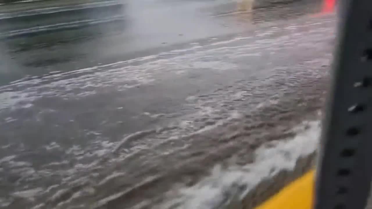
A localized thunderstorm on July 31st brought flooding to the Canyon Ferry area around the Horse Gulch Burn Scar, causing debris flow on Jimtown Road and damage to property along the shores of Canyon Ferry Lake.
Although the wildfire season was the 4th least active period in the last 15 years, at least when talking about acreage, it still produced large fires near the Helena area, Like the Jericho Mountain and Windy Rock Fires. Just over 75,000 acres were burned across the state.
And of course, who could forget the December 17th wind storm, which brought a 91 MPH wind gust to the Helena area, making it the fastest recorded wind speed this year.
We are only a few days away from seeing what 2026 has in store for us.
